

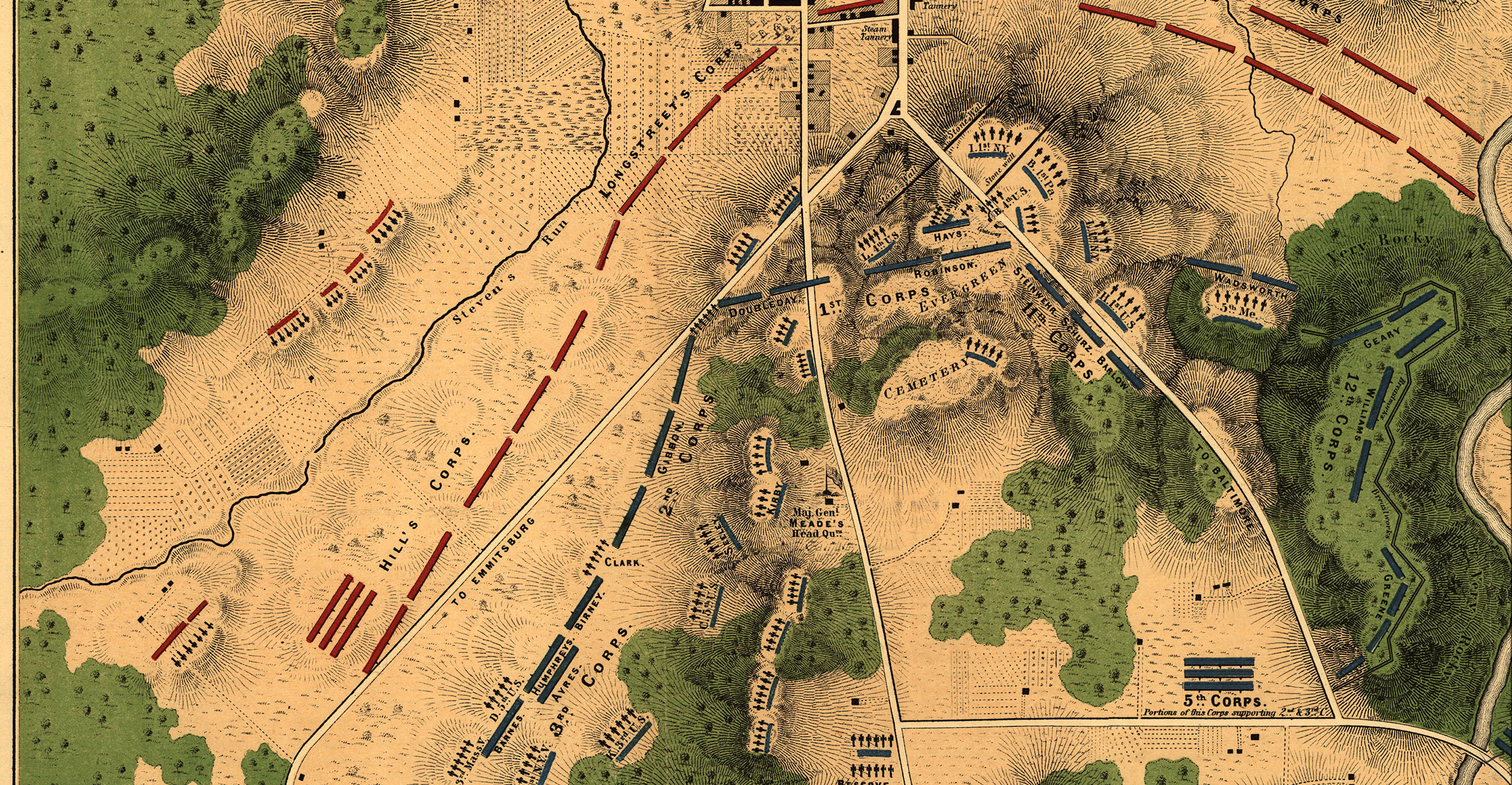
Gettysburg, Pennsylvania - July 2, 1863 Battle Map
Gettysburg, Pennsylvania - July 2, 1863 Battle Map
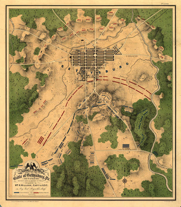
The men of the Army of the Potomac held the line traced in blue on this map on the afternoon of July 2, 1863: a lithographed map of the Battle of Gettysburg prepared in 1863 by Captain William H. Willcox, aide-de-camp on Major General John F. Reynolds's staff, and offered here as a museum-quality reproduction. Reynolds was killed on the first day of the battle. His staff officer's map covers all three days, with the line of battle fixed as it stood on the afternoon of the second. Union corps are numbered along the ridge; Confederate corps face them across the fields.
Historical Context
The Battle of Gettysburg was fought from July 1 to July 3, 1863, between the Union Army of the Potomac under Major General George G. Meade and the Confederate Army of Northern Virginia under General Robert E. Lee. On the first day, Confederate forces drove the Union First and Eleventh Corps back through the town. By the afternoon of July 2, the Union army held a line from Culp's Hill and Cemetery Hill south along Cemetery Ridge toward the Round Tops. That afternoon and evening, Longstreet's corps attacked the Union left at Devil's Den, the Wheatfield, the Peach Orchard, and Little Round Top, while Ewell's corps struck Culp's Hill and Cemetery Hill. The Union line held.
The Map's Features
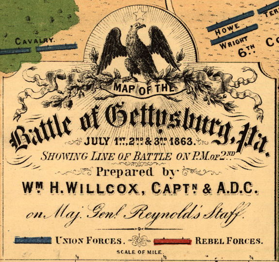
Printed in color by P. S. Duval & Son of Philadelphia, the map shows the town of Gettysburg at the center of its road network, with relief drawn in hachures and woods in green. Union positions are marked in blue and Confederate positions in red, keyed in the legend as "Union Forces" and "Rebel Forces." Union corps are numbered along the line, and the Confederate corps are identified as Ewell's, Hill's, and Longstreet's. Artillery positions and the Union breastworks on Culp's Hill are shown. The title cartouche, surmounted by an eagle, credits "Wm. H. Willcox, Capt. & A.D.C. on Maj. Genl. Reynolds's Staff."
Historical Significance
Willcox's map is a contemporary record, published in the year of the battle by an officer of the army that fought it. It predates the surveys and histories that later fixed the battle in memory, and it shows the field as a staff officer understood it: where each corps stood on the afternoon of the second day. Four and a half months later, Abraham Lincoln dedicated the Soldiers' National Cemetery on this ground. For descendants of the men who fought there, and for any serious student of the Civil War, it places a named corps on a named piece of ground.
Framing Options
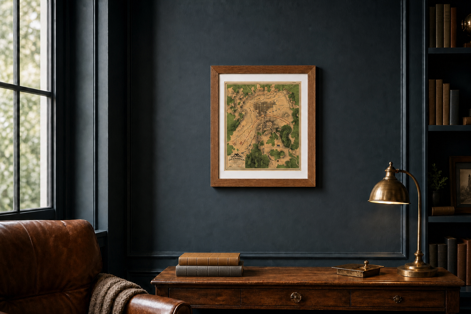
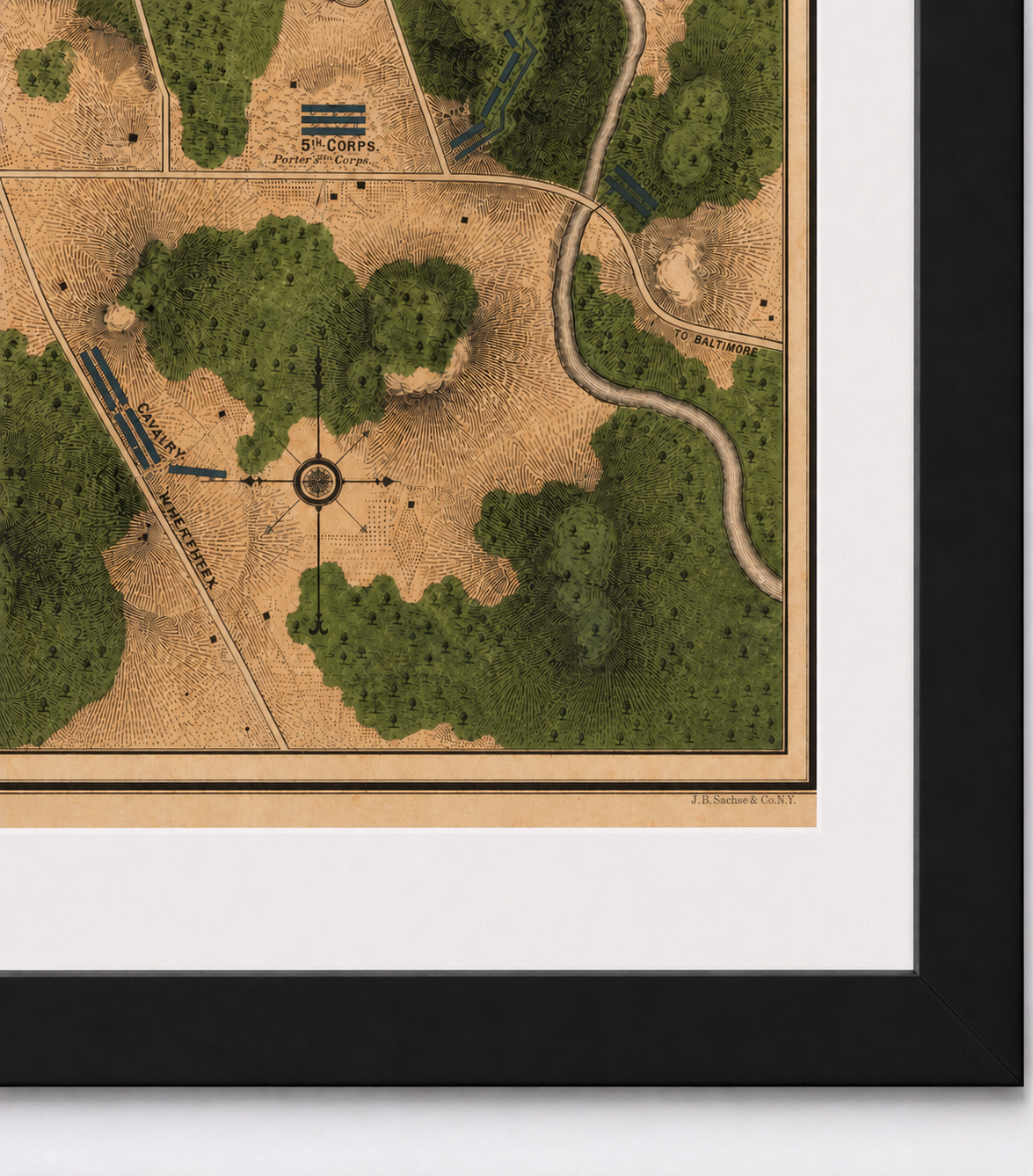
This map is available unframed or professionally framed and ready to hang. Our framing partner uses museum-quality materials to protect and present your map for long-term display. Choose from a classic Black frame or a warm Walnut Brown frame — both available with your order. Please allow 3–4 weeks for delivery on framed orders.
Museum-Quality Reproduction
This is a high-quality reproduction of the original historic map, professionally printed on premium archival paper using the Giclée printing process to preserve fine cartographic detail, line clarity, and period authenticity for long-term display.
Perfect For
- Civil War collectors and historians
- Descendants of soldiers who fought at Gettysburg
- Teachers and students of American history
- Collectors of nineteenth-century lithographed maps
- Offices, libraries, and studies
Specifications
- Depicts: Battle of Gettysburg, July 1–3, 1863; line of battle on the afternoon of July 2
- Conflict: American Civil War, Eastern Theater
- Battle Result: Union Victory
- Original Publication: 1863
- Cartographer: Captain William H. Willcox, aide-de-camp on Major General John F. Reynolds's staff; lithographed by P. S. Duval & Son, Philadelphia
- Style: Color lithographed battlefield map
- Original Scale: Approximately 1:13,100
- Product Type: Giclée reproduction on premium archival paper
- Printed In: Rochester Hills, Michigan
Dimensions (Width x Height): 17.9 x 20.5 inches (45.5 x 52.1 cm)
Each map is printed using the finest materials and methods. Your map will be handled with white gloves from start to finish. We use the Giclée printing method on premium archival paper, which produces a clear, extremely detailed, durable map perfect for proud display in your home or office.
For the full account of the second day, read our Field Notes article: The Ground That Could Not Be Given: Gettysburg, July 2, 1863
Choose options
