
Austerlitz, Moravia – 1805 Hand-Drawn Battle Map
Austerlitz, Moravia – 1805 Hand-Drawn Battle Map
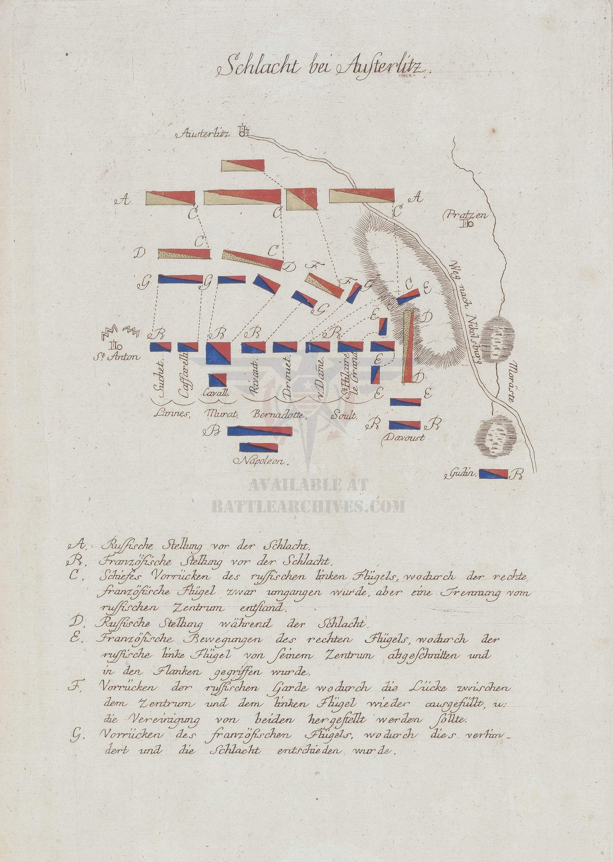
Fought on December 2, 1805, near the village of Austerlitz in present-day southeastern Czech Republic, this battle stands as one of the most decisively executed engagements in military history. This hand-drawn contemporary map, rendered in German, documents the dispositions and movements of the French Grande Armée under Napoleon against the combined Russian and Austrian forces of the Third Coalition. The map traces the battle from initial troop positions through the maneuvers that determined its outcome, naming the corps commanders who directed each wing of the French army.
Historical Context By late 1805, Napoleon had drawn the Allied armies into a position he had deliberately engineered. After the rapid encirclement of Austrian forces at Ulm, Napoleon withdrew toward Brünn, intentionally weakening his right flank to project vulnerability. The Allied command, led by Tsar Alexander I and Emperor Francis II, took the bait and advanced to strike what they believed was an exposed French position, abandoning the high ground of the Pratzen Heights in the process. This map captures the resulting battle as the Allied left wing advanced obliquely off the heights, a maneuver that separated their line from its own center and opened the gap Napoleon intended to exploit.
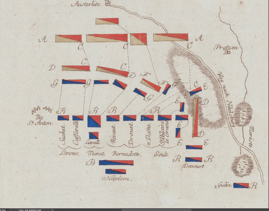
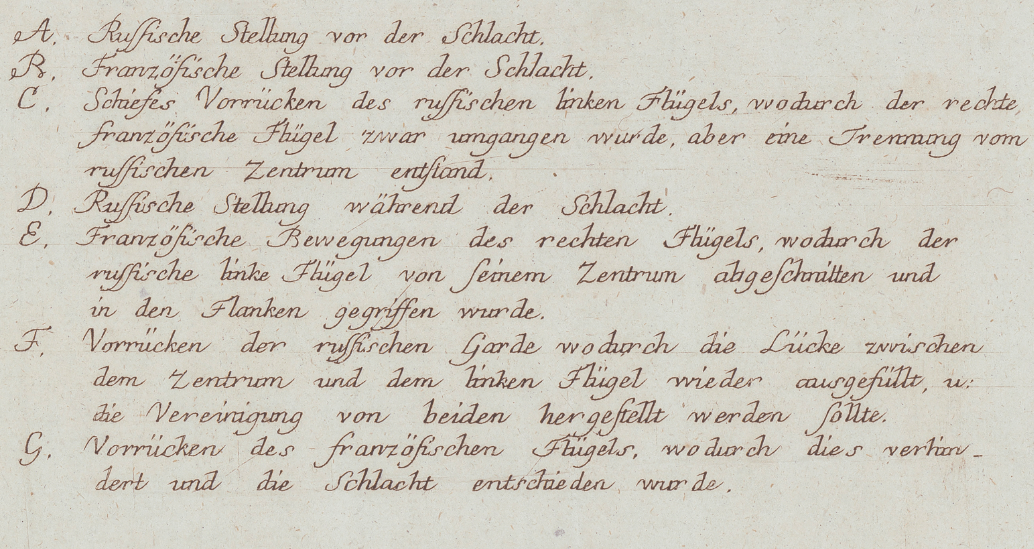
The Map's Features The diagram plots Russian and French positions before the engagement, followed by the oblique advance of the Russian left wing that pulled it away from the Allied center. Subsequent movements show the Russian Guard's attempt to close the resulting gap, the French right wing's advance under Davout, and the French left wing's push under Lannes, Murat, Bernadotte, and Soult that ultimately decided the battle. Corps- and division-level commanders are individually labeled, including Suchet, Caffarelli, Rivaud, Drouet, Vandamme, and Saint-Hilaire, alongside Napoleon's own position near the center of the French line. Terrain references include the village of Austerlitz, the Pratzen Heights, the road to Nikolsburg, and the marshland to the southeast that would prove fatal to retreating Allied units.
Historical Significance Austerlitz effectively ended the War of the Third Coalition and forced the dissolution of the Holy Roman Empire, reshaping the balance of power in Central Europe. The battle is studied to this day as a model of deception, terrain exploitation, and coordinated envelopment, and it remains a benchmark against which later operational planning has been measured. This map preserves the tactical picture of that engagement as understood by a contemporary hand, before the battle's outcome had settled into the historical record it later became.
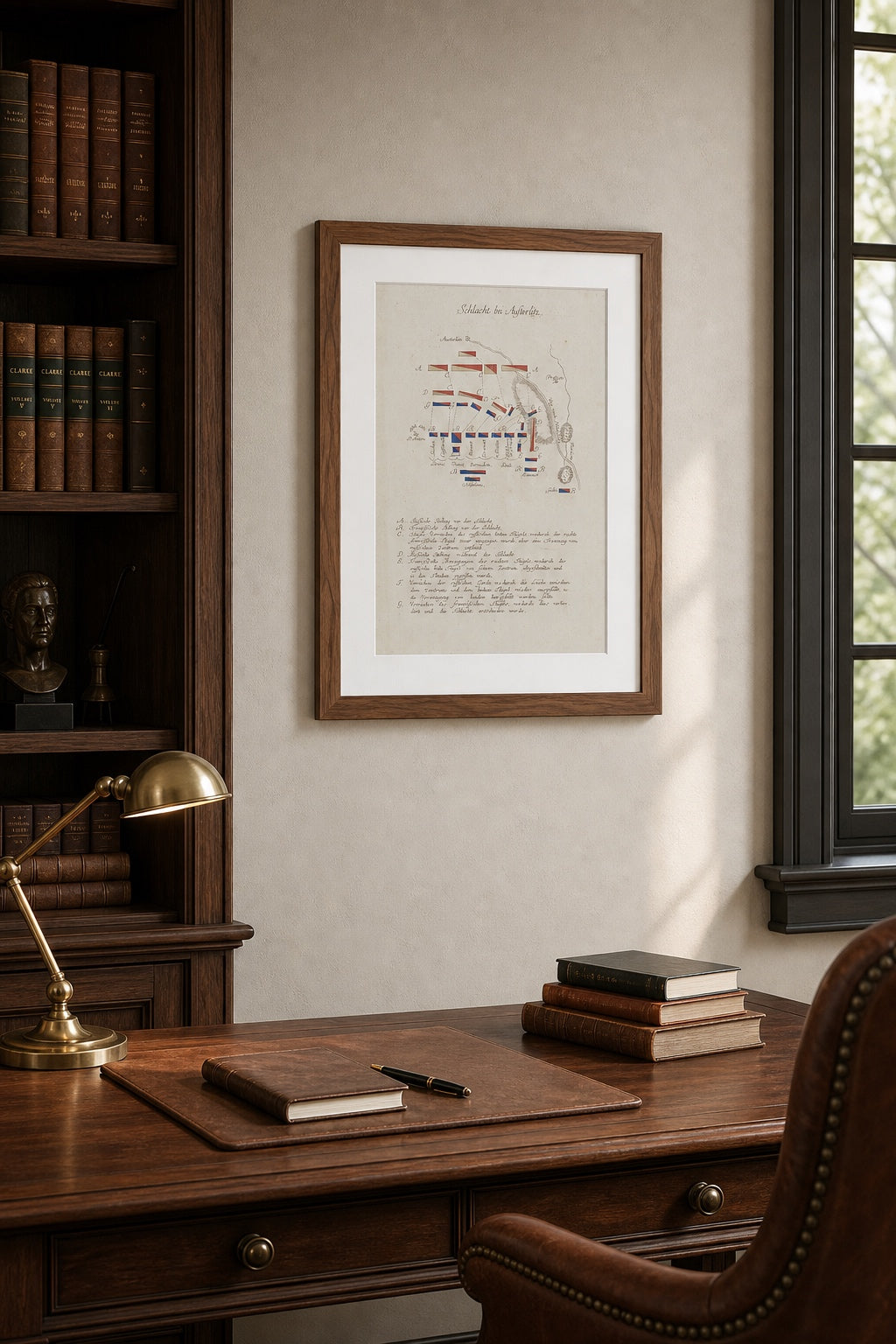
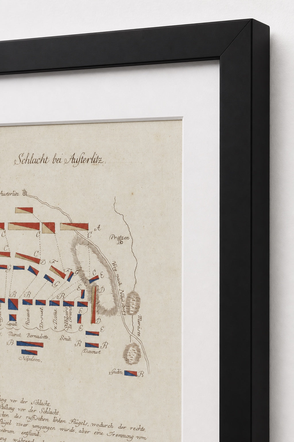
Framing Options This map is available unframed or professionally framed and ready to hang. Our framing partner uses museum-quality materials to protect and present your print for long-term display. Choose from a classic Black frame or a warm Walnut Brown frame — both available with your order. Please allow 3–4 weeks for delivery on framed orders.
Museum-Quality Reproduction This is a high-quality reproduction of the original historic map, professionally printed on premium archival paper using the Giclée printing process to preserve fine cartographic detail, line clarity, and period authenticity for long-term display.
Perfect For
- Napoleonic Wars historians and collectors
- Students of military strategy and tactical envelopment
- Collectors of hand-drawn and manuscript-era battle maps
- Offices, studies, and libraries
- Gifts for history enthusiasts and strategy scholars
Specifications
- Original Publication: Unknown
- Style: Hand-drawn campaign battle diagram (German)
- Battle/Conflict: Battle of Austerlitz (War of the Third Coalition)
- Battle Result: French Victory
- Product Type: High-Quality Reproduction Print
Dimensions (Width x Height): 10 x 14.1
Each map is printed using the finest materials and methods. Your map will be handled with white gloves from start to finish. We use the Giclée printing method on premium archival paper, which produces a clear, extremely detailed, durable map perfect for proud display in your home or office.
From the Archive
The Trap at Austerlitz: 2 December 1805
Choose options
