The Trap at Austerlitz: 2 December 1805
Before first light on 2 December 1805, fog held the low ground east of Brünn, and a combined Russian and Austrian army came down out of the hills to destroy a French force it was certain it had already cornered. By dark, it was the coalition that had been broken. The battle would carry Napoleon's name into every serious study of maneuver that followed — and it turned on ground he had given up on purpose.
By the late fall of 1805, the War of the Third Coalition had already been going poorly for the allies. In October, Napoleon had surrounded an Austrian army at Ulm and forced its surrender before its Russian allies could save it. But the main Russian army under Mikhail Kutuzov, joined by the remaining Austrian forces and accompanied by Tsar Alexander I of Russia and Emperor Francis II, was still in the field in Moravia. Napoleon had marched hard and far from the Rhine. His lines were stretched, his men were tired, and he was outnumbered on the ground he now chose to fight. To the two emperors, watching a smaller French army sit east of Brünn, the moment looked like the chance to win the campaign.
That impression was all part of the plan.
Napoleon had arranged his army to look weaker than it was. He kept his right flank, to the south, deliberately thin, and he drew his center back off the Pratzen Heights. Napoleon intentionally left the commanding high ground in the middle of the field open. The allied staff, working from a scheme drawn up by the Austrian officer Franz von Weyrother, resolved to send the weight of their army south around that exposed French right, cut Napoleon off from the road to Vienna, and roll up his line from the flank. Carrying it out meant marching their columns down off the Pratzen and away from the center. As the fog began to lift on the morning of the battle, that is what they did.

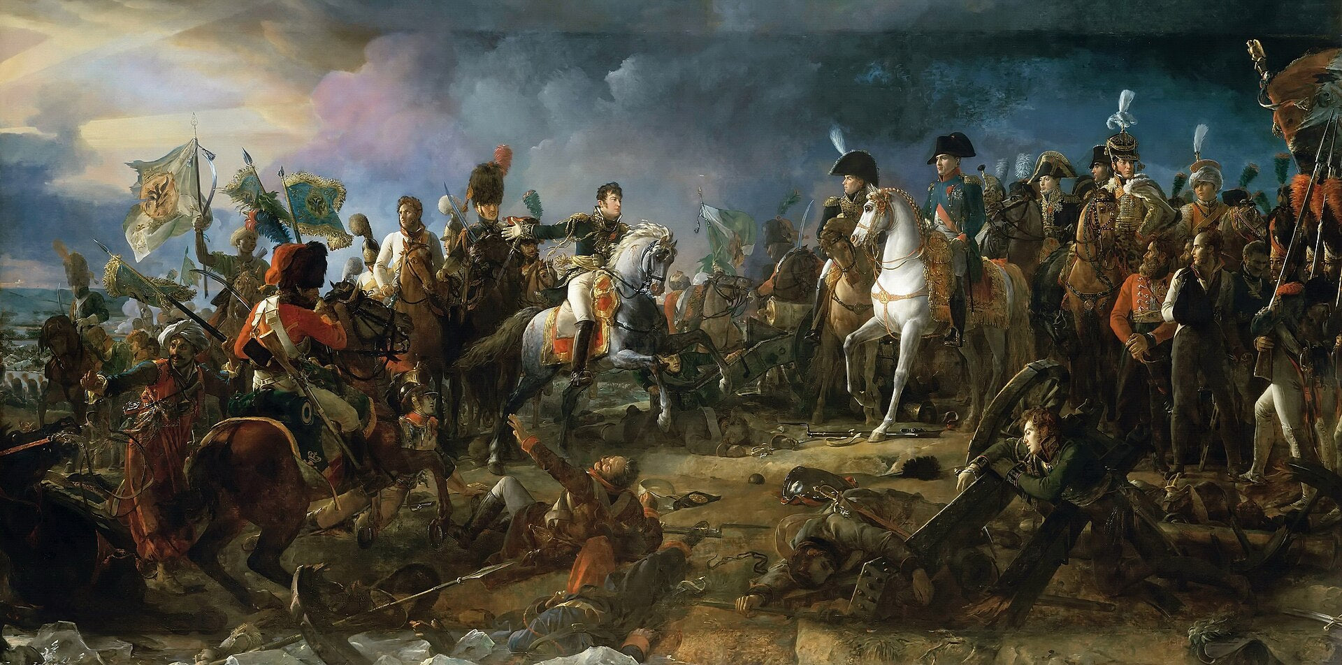
Napoleon waited until the allied center had emptied. Then he sent Marshal Soult's corps forward out of the low ground and onto the Pratzen Heights, taking the high ground the allies had just walked away from and driving a wedge into the middle of their army. To the south, Marshal Davout's corps, that force-marched up from near Vienna to reach the field in time, held the deliberately weak right long enough for the blow in the center to land. Once the French held the Pratzen, the allied army was split in two, and its southern wing was taken from behind. Part of it broke and fell back across the frozen ponds and marshes below the heights. How many men died in that ice has been argued over ever since. By evening, the coalition army was in pieces. The day carried a note of its own. It fell one year to the date after Napoleon had crowned himself Emperor of the French.
Austerlitz ended the Third Coalition within weeks. Austria signed the Treaty of Pressburg on 26 December 1805, ceding territory and leaving the war. The defeat also broke what remained of the standing of the Holy Roman Empire; Francis II would formally dissolve it the following year, closing out an institution that had endured for roughly a thousand years. The battle has been studied ever since. It is a case of a smaller army winning through timing and command of terrain rather than weight of numbers. Austerlitz was an outcome decided less by how many men stood on the field than by where they stood, and when.
That is what this map records. It is a contemporary plan of the terrain around Austerlitz, published at Leipzig, showing the positions of the combined Russian and Austrian armies and the French army as they stood for battle on 2 December 1805. The fortified city of Brünn anchors the western edge, its star-shaped citadel drawn in detail; Austerlitz sits to the east, across the contested plateau of the Pratzen. Hachured relief marks the heights and valleys that shaped the fighting, the roads and villages are labeled throughout, and the string of ponds near Telnitz and Sokolnitz. Here in the low, wet ground is where the allied left broke. Contrasting colored blocks record where each army stood. Read alongside the account of the day, the plan shows why the trap worked: the whole battle is written into the terrain.
Battle Archives offers the Austerlitz map as a museum-quality reproduction, printed on premium archival paper using the giclée process to hold the fine linework and period detail of the original. It is available unframed or professionally framed in a black or walnut brown frame, ready to hang.
Austerlitz is often reduced to a single phrase — Napoleon's finest battle. This map returns it to something more specific: a stretch of Moravian ground, one cold December morning, where the position of the armies decided the fate of an empire.

Written by Mike Bryant
Visit author's website