St. Louis, Missouri – 1848 City View and Plan Map
St. Louis, Missouri – 1848 City View and Plan Map
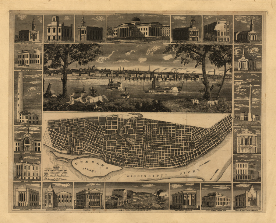
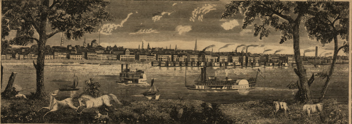
This richly composed 1848 map presents St. Louis at a formative moment in its rise as a major Mississippi River city. Combining a panoramic riverfront view with a detailed street plan and surrounding architectural vignettes, the map offers both a visual and cartographic portrait of a city transitioning from frontier settlement to established urban center. Steamboats crowd the river, orderly streets spread inland, and prominent civic buildings frame the composition, reflecting ambition and confidence in St. Louis’s future.
Historical Context In 1848, St. Louis was rapidly emerging as the primary commercial hub of the central United States. River trade along the Mississippi fueled growth, linking Midwestern agriculture to national and international markets. This period also coincided with westward expansion following the Mexican–American War, positioning St. Louis as a critical gateway to the frontier. The map captures the city before the explosive industrialization of the late 19th century, preserving its earlier civic and architectural character.
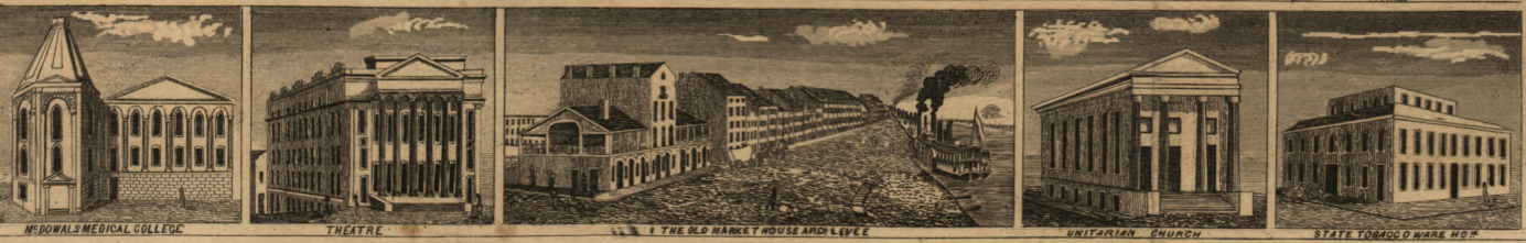
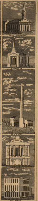
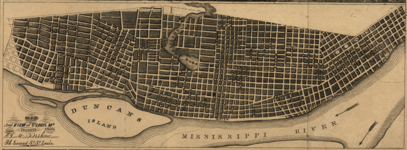
The Map’s Features The composition includes a central panoramic view of the St. Louis riverfront with steamboat traffic and city skyline, a detailed street plan showing the organized urban grid along the Mississippi River, Duncan’s Island prominently labeled in the river, and surrounding inset illustrations depicting churches, public buildings, factories, and civic landmarks that defined mid-19th-century St. Louis.
Historical Significance This map provides a rare integrated view of St. Louis’s physical layout, economy, and civic identity in the mid-1800s. By blending cartography and illustration, it documents how the river shaped commerce, transportation, and daily life, making it an invaluable reference for understanding the city’s early development.
Museum-Quality Reproduction This is a high-quality reproduction of the original 1848 map, professionally printed on archival Hahnemühle paper using the Giclée printing process to preserve tonal richness, line detail, and period character for long-term display.
Perfect For:
• St. Louis residents and regional history enthusiasts
• Collectors of early American city maps
• Mississippi River and steamboat history enthusiasts
• Offices, libraries, and study spaces
• Gifts celebrating early Midwestern heritage
Specifications:
• Original Publication: 1848
• Publisher: 19th-century American map publisher
• Style: Illustrated city view with integrated street plan
• Historical Context: Pre-industrial St. Louis and Mississippi River commerce
• Product Type: High-Quality Reproduction Print
Dimensions (Width x Height): 27 x 21.9
Each map is printed using the finest materials and methods. Your map will be handled with white gloves from start to finish. We use the Giclée printing method on Hahnemühle paper, which produces a clear, extremely detailed, durable map perfect for proud display in your home or office. Digital watermark does not appear on your purchased map.
Choose options
