
Normandy, France – 1944 Allied D-Day Operational Assault Map
Normandy, France – 1944 Allied D-Day Operational Assault Map
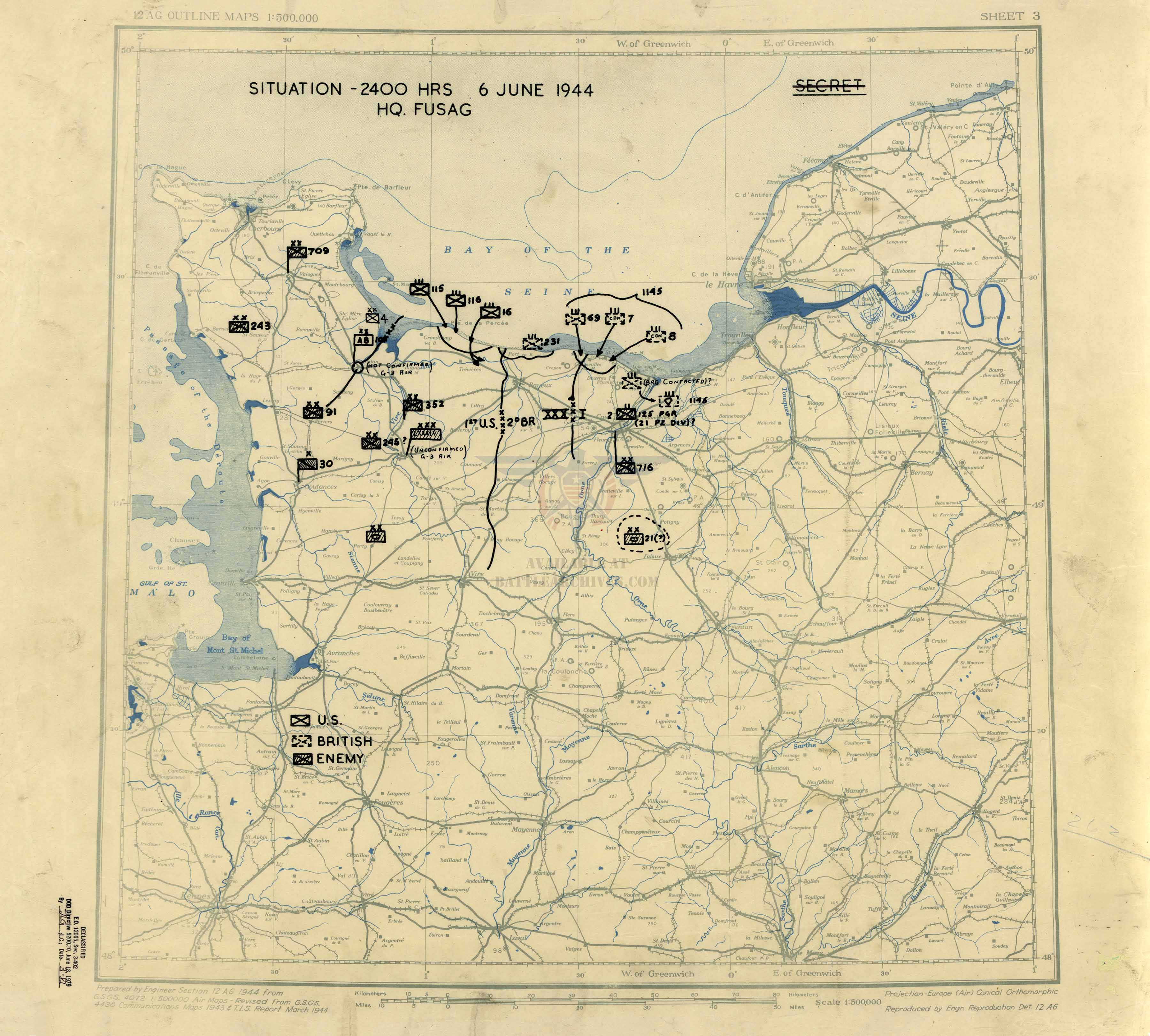
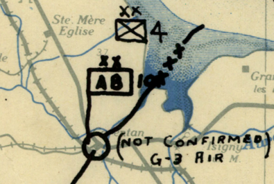
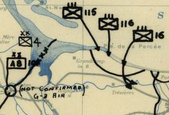
By midnight on June 6, 1944, the American, British, and Canadian troops who had come ashore in Normandy held the positions marked on this map: a Secret situation map headed "Situation – 2400 Hrs 6 June 1944, HQ. FUSAG," prepared by Headquarters, First U.S. Army Group and offered here as a museum-quality reproduction. It is the first sheet in a series of 412 situation maps the headquarters kept through July 26, 1945. Each symbol stands for a unit ashore or an enemy formation in front of it. The staff who drew it did not yet know where the 101st Airborne Division stood, and marked its position "Not confirmed."
Historical Context
On June 6, 1944, Allied forces opened Operation Overlord, the invasion of German-occupied France. American, British, and Canadian troops landed on five beaches along the Normandy coast: Utah, Omaha, Gold, Juno, and Sword. Airborne divisions had dropped inland during the night to secure the flanks. By midnight the landings had put a lodgment ashore, but the beachheads were not yet joined and the position of several units was uncertain. This map records what the headquarters believed the situation to be at that hour.
The Map's Features
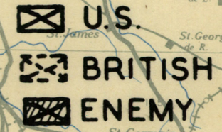
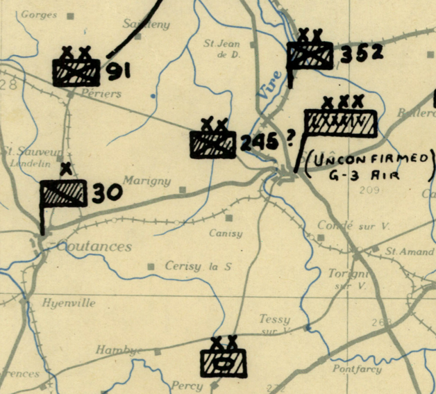
The sheet plots the situation at 2400 hours on a 1:500,000 base map of northwestern France prepared by the Engineer Section, 12th Army Group. Hand-lettered symbols mark U.S., British, and enemy units, each keyed in a legend at lower left. American formations appear on the Cotentin Peninsula and at Omaha Beach, including the 4th Infantry Division and the 101st Airborne Division; British and Canadian brigades are marked on the coast north of Caen. A boundary line divides the U.S. First Army from the British Second Army. German divisions, among them the 352d, 709th, and 716th, are plotted opposite, with question marks where identification was uncertain. The sheet carries its original Secret classification and a 1979 declassification stamp.
Historical Significance
Most D-Day maps show the plan. This one shows the result as it was understood on the night itself. The lodgment it records was shallow and incomplete, and the map says so, with unconfirmed positions and unidentified enemy units left as open questions. From this sheet the headquarters went on to chart the campaign day by day through the end of the war in Europe. For a family whose soldier landed on June 6, and for any serious student of the campaign, it marks where each unit was believed to stand when the day ended.
Framing Options
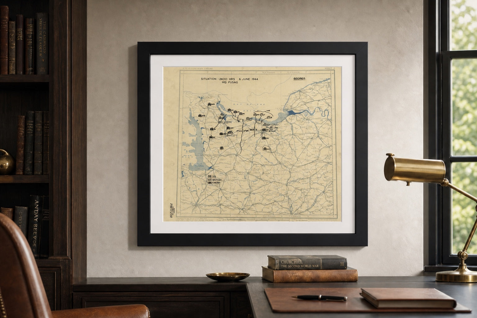
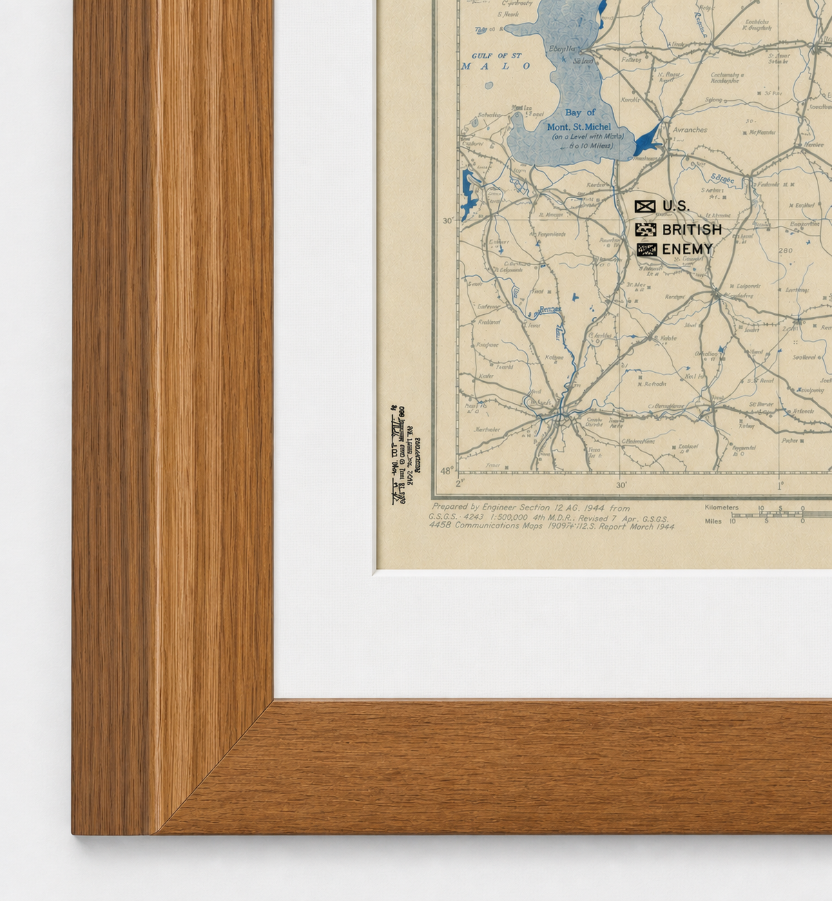
This map is available unframed or professionally framed and ready to hang. Our framing partner uses museum-quality materials to protect and present your map for long-term display. Choose from a classic Black frame or a warm Walnut Brown frame — both available with your order. Please allow 3–4 weeks for delivery on framed orders.
Museum-Quality Reproduction
This is a high-quality reproduction of the original historic map, professionally printed on premium archival paper using the Giclée printing process to preserve fine cartographic detail, line clarity, and period authenticity for long-term display.
Perfect For
- Families of those who landed in Normandy on June 6, 1944
- World War II and European Theater historians
- Collectors of D-Day and Normandy maps
- A gift for a veteran or a military family
- Offices, libraries, and studies
Specifications
- Depicts: Allied and German positions in Normandy at 2400 hours, June 6, 1944 (D-Day, Operation Overlord)
- Conflict: World War II, European Theater
- Original Publication: 1944 (situation as of 2400 hours, June 6, 1944)
- Publisher: Headquarters, First U.S. Army Group (FUSAG); base map by Engineer Section, 12th Army Group
- Style: WWII U.S. Secret situation map
- Original Scale: 1:500,000
- Product Type: Giclée reproduction on premium archival paper
- Printed In: Rochester Hills, Michigan
Dimensions (Width x Height): 22.2 x 20 inches (56.4 x 50.8 cm)
Each map is printed using the finest materials and methods. Your map will be handled with white gloves from start to finish. We use the Giclée printing method on premium archival paper, which produces a clear, extremely detailed, durable map perfect for proud display in your home or office.
Choose options
