New York City - 1851 Map of Manhattan
New York City - 1851 Map of Manhattan
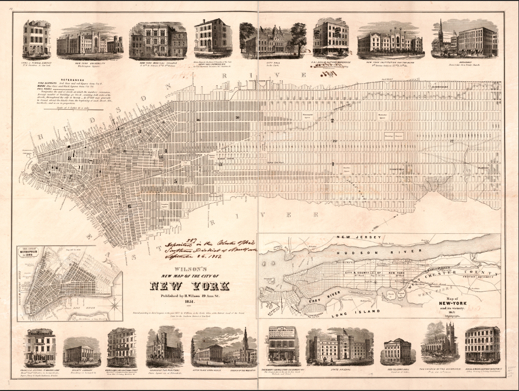
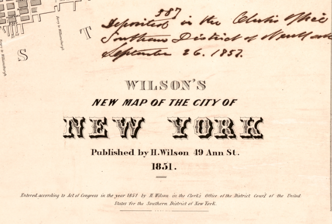
Experience New York at the height of its mid-century transformation with this remarkable 1851 map of Manhattan. Published by H. Wilson, this comprehensive street plan captures America's largest city during a period of explosive growth, massive immigration, and unprecedented urban expansion that would reshape the American landscape.
The Great Metropolis Emerges
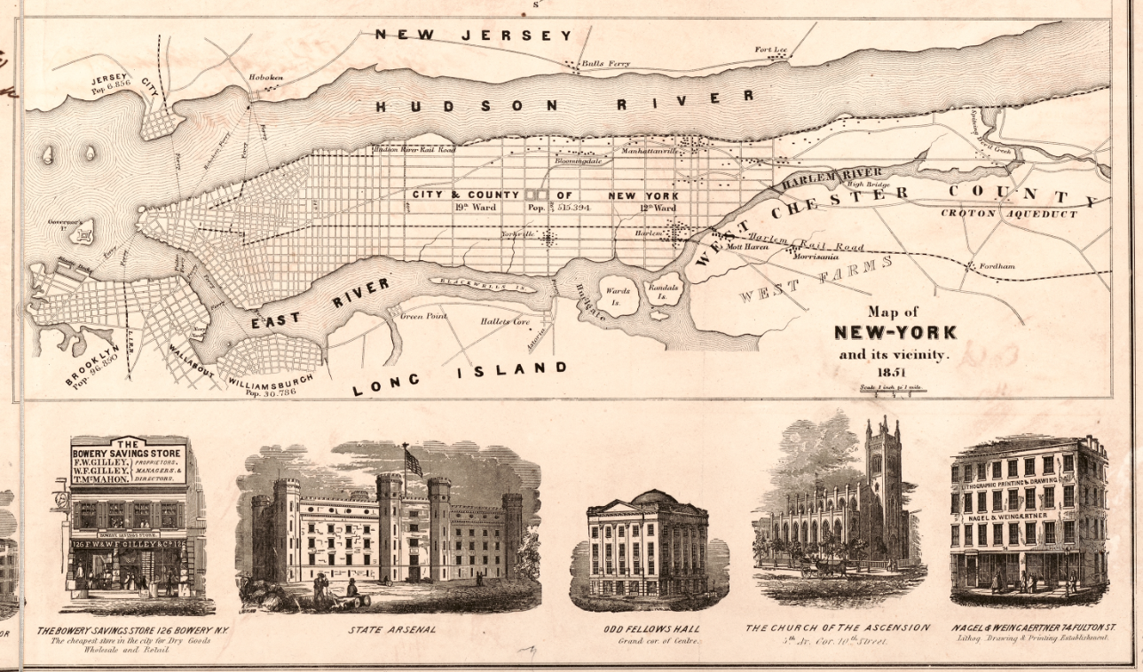
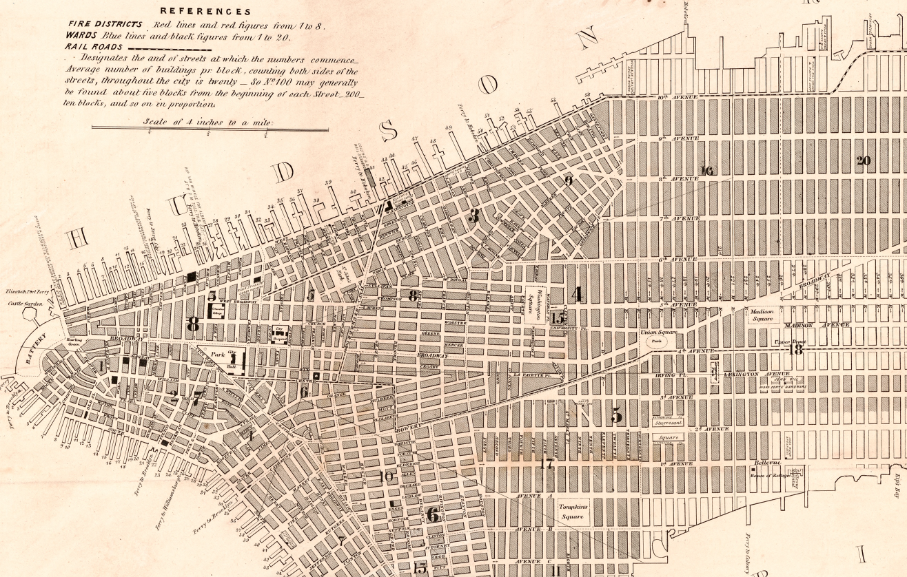
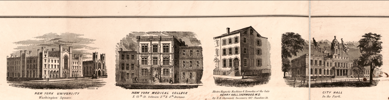
This meticulously detailed map showcases Manhattan's dramatic northward expansion from its colonial roots at the Battery. Every street, ward boundary, and notable building tells the story of a city racing to accommodate waves of European immigrants while establishing itself as America's commercial and cultural capital. The map features 18 elegant illustrations of the city's most significant buildings—from churches and hotels to government structures and commercial landmarks—offering a visual directory of mid-century New York's architectural ambitions. Includes fascinating ancillary maps comparing "The Great Metropolis in 1804" with the sprawling city of 1851, dramatically illustrating five decades of extraordinary growth.
Historical Significance
By 1851, New York had become America's undisputed economic powerhouse and gateway to opportunity for millions of immigrants. This map captures that pivotal moment when the Commissioners' Plan grid was steadily extending northward across Manhattan Island, when grand hotels and department stores were transforming Broadway into a world-class avenue, and when the city's population was surging past half a million residents. The ward divisions shown reflect the political geography that shaped city governance, while the building illustrations document an architectural heritage largely lost to subsequent development and disaster.
Museum-Quality Reproduction
This is a high-quality reproduction of the original 1851 map, professionally printed using museum-grade methods and materials to preserve every detail of this historic cartographic treasure.
Perfect For:
- History enthusiasts and collectors of Americana
- New York natives and Manhattan residents
- Anyone passionate about urban development and American history
- Displaying alongside your military and historical collections
- Gift-giving for those who appreciate historical artifacts
Specifications:
- Original Publication: 1851
- Style: Street plan with ward boundaries and building illustrations
- Features: 18 illustrations of notable buildings, comparative maps from 1804 and 1851
- Product Type: High-Quality Reproduction Print
Dimensions 20 x 15
Each map is printed using the finest materials and methods. Your map will be handled with white gloves from start to finish. We use the Giclee printing method on Hahnemuhle paper, which produces a clear, extremely detailed, durable map that is perfect to be proudly displayed in your home or office.
Digital watermark does not appear on your purchased map.
Choose options
