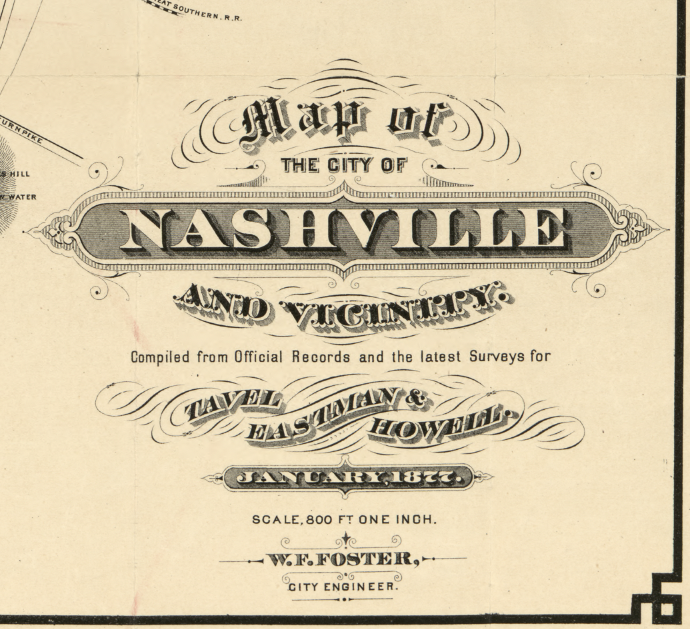
Nashville, Tennessee – 1877 City and Vicinity Map
Nashville, Tennessee – 1877 City and Vicinity Map
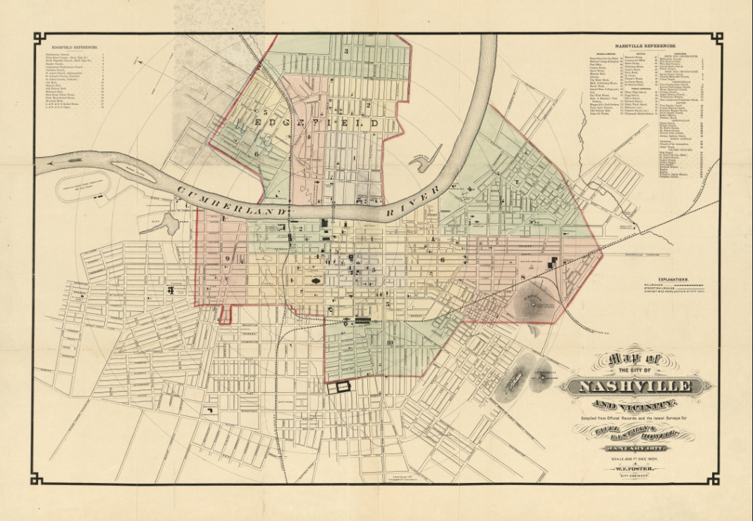
This detailed 1877 map presents Nashville at a pivotal moment in its post–Civil War recovery and expansion. Centered on the Cumberland River and the established downtown street grid, the map extends outward to show surrounding neighborhoods, transportation corridors, and developing outskirts. Carefully hand-colored and densely annotated, it reflects Nashville’s transition from a wartime city into a growing commercial and civic center of the Upper South.
Historical Context
Published in 1877, this map captures Nashville during the Reconstruction era, when infrastructure, governance, and urban form were being reshaped. The city’s strategic position along the Cumberland River made it a vital transportation and trade hub, while expanding rail connections and planned neighborhoods pushed growth beyond the original core. This period laid much of the groundwork for Nashville’s later emergence as a regional capital of commerce, culture, and education.
The Map’s Features
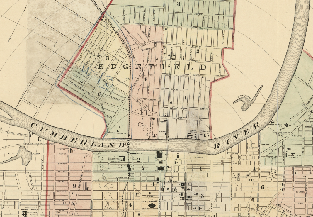
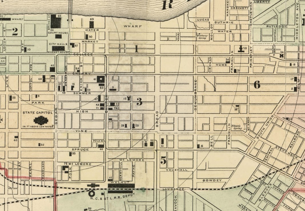
The map shows ward boundaries, numbered references, and a clearly organized street network radiating from the city center. Concentric distance circles, marked at quarter-mile intervals from City Hall, provide a practical sense of scale and accessibility. Relief is depicted through hachures and spot heights, while the Cumberland River anchors the composition. Oriented with north toward the upper left, the map also includes period annotations and survey detail typical of late-19th-century urban cartography.
Historical Significance
This map serves as an important snapshot of Nashville’s physical and administrative layout in the late 19th century. It documents how the city was measured, governed, and understood by its planners and residents at a time when modern urban systems were taking shape. For historians and collectors, it offers both technical detail and insight into Nashville’s evolving identity after the Civil War.
Museum-Quality Reproduction
This is a high-quality reproduction of the original 1877 map, professionally printed on archival Hahnemühle paper using the Giclée printing process to preserve fine linework, color, and historic character for long-term display.
Perfect For:
• Nashville residents and Tennessee historians
• Collectors of 19th-century city maps
• Urban planning and cartography enthusiasts
• Offices, libraries, and study spaces
• Gifts celebrating historic Nashville
Specifications:
• Original Publication: 1877
• Cartographer: Wilbur F. Foster
• Style: Hand-colored 19th-century city and vicinity map
• Product Type: High-Quality Reproduction Print
Dimensions (Width x Height): 30 x 20.9
Each map is printed using the finest materials and methods. Your map will be handled with white gloves from start to finish. We use the Giclée printing method on Hahnemühle paper, which produces a clear, extremely detailed, durable map perfect for proud display in your home or office.
Digital watermark does not appear on your purchased map.
Choose options
