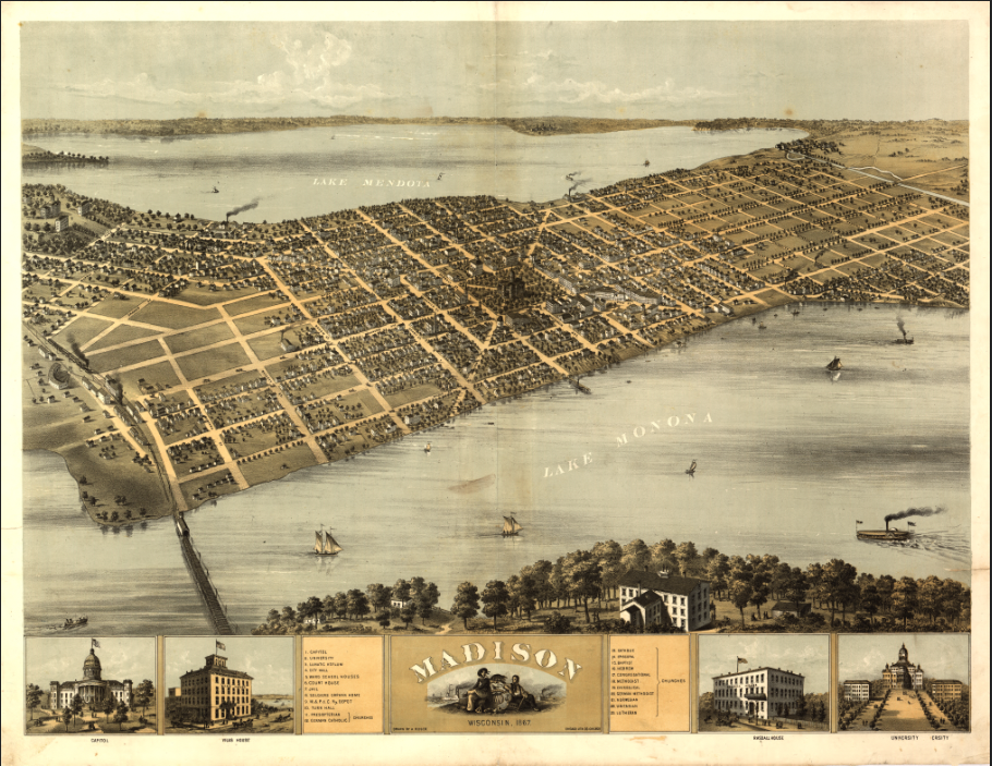
Madison, Wisconsin – 1867 Panoramic View Featuring the Wisconsin State Capitol and University
Madison, Wisconsin – 1867 Panoramic View Featuring the Wisconsin State Capitol and University
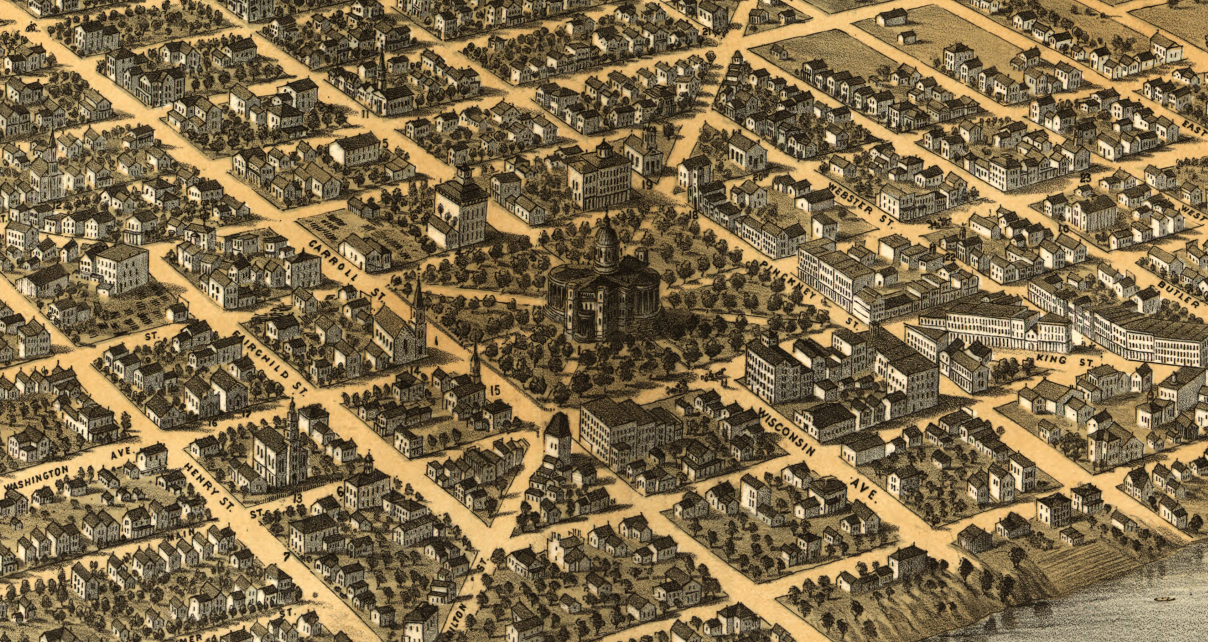
Experience Madison as it appeared just after the Civil War in this remarkable 1867 bird’s-eye panoramic view. Created by A. Ruger and published by the Chicago Lithographing Company, this sweeping perspective captures Wisconsin’s capital city nestled between Lake Mendota and Lake Monona during a formative period of civic growth and state pride.
Historical Context By 1867, Madison was firmly established as both the political center of Wisconsin and the home of the University of Wisconsin. The city’s distinctive isthmus setting shaped its development, with government buildings, university halls, homes, churches, and commercial districts spreading across the narrow strip of land between the lakes. This view reflects Madison’s early ambition and expanding identity as a regional hub.
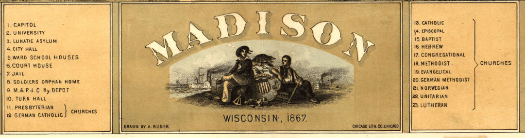
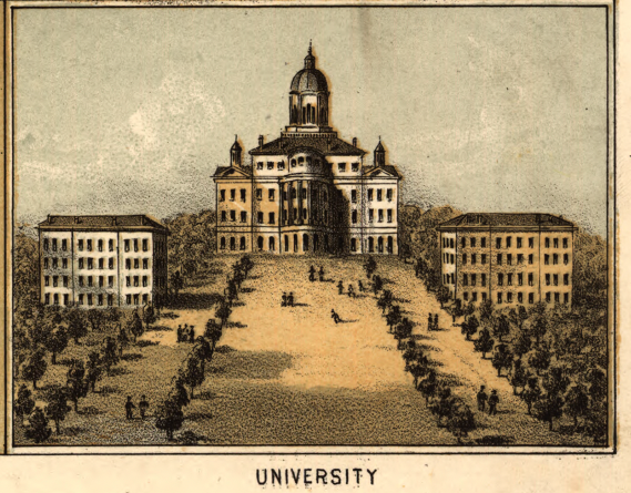
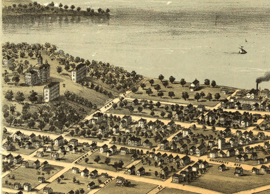
The Map’s Features This detailed bird’s-eye perspective illustrates Madison’s orderly street grid, lakeshore activity, rail connections, and prominent landmarks. Insets along the lower margin depict important buildings, including the State Capitol and university structures. Though drawn in perspective and not to strict scale, the map includes an index to points of interest, allowing viewers to identify key civic and institutional sites.
Historical Significance Panoramic city views of the 19th century were both artistic achievements and civic statements, celebrating prosperity and progress. This 1867 view preserves a vivid record of Madison’s early layout and architectural character, making it an important document of Wisconsin history and a striking decorative centerpiece.
Museum-Quality Reproduction This is a high-quality reproduction of the original 1867 panoramic map, professionally printed on archival Hahnemühle paper using the Giclée printing process to preserve fine line detail, tonal richness, and historic authenticity for long-term display.
Perfect For:
• University of Wisconsin alumni and faculty
• Madison residents and Wisconsin natives
• Collectors of 19th-century panoramic city maps
• Offices, studies, and academic spaces
• Gifts celebrating Wisconsin heritage
Specifications:
• Original Publication: 1867
• Mapmaker: A. Ruger
• Publisher: Chicago Lithographing Co.
• Style: Bird’s-eye panoramic city view
• Product Type: High-Quality Reproduction Print
Dimensions (Width x Height): 27 x 21
Each map is printed using the finest materials and methods. Your map will be handled with white gloves from start to finish. We use the Giclée printing method on Hahnemühle paper, which produces a clear, extremely detailed, durable map perfect for proud display in your home or office.
Choose options
