
Iwo Jima, Japan – 1945 U.S. Assault Plan Battle Map
Iwo Jima, Japan – 1945 U.S. Assault Plan Battle Map
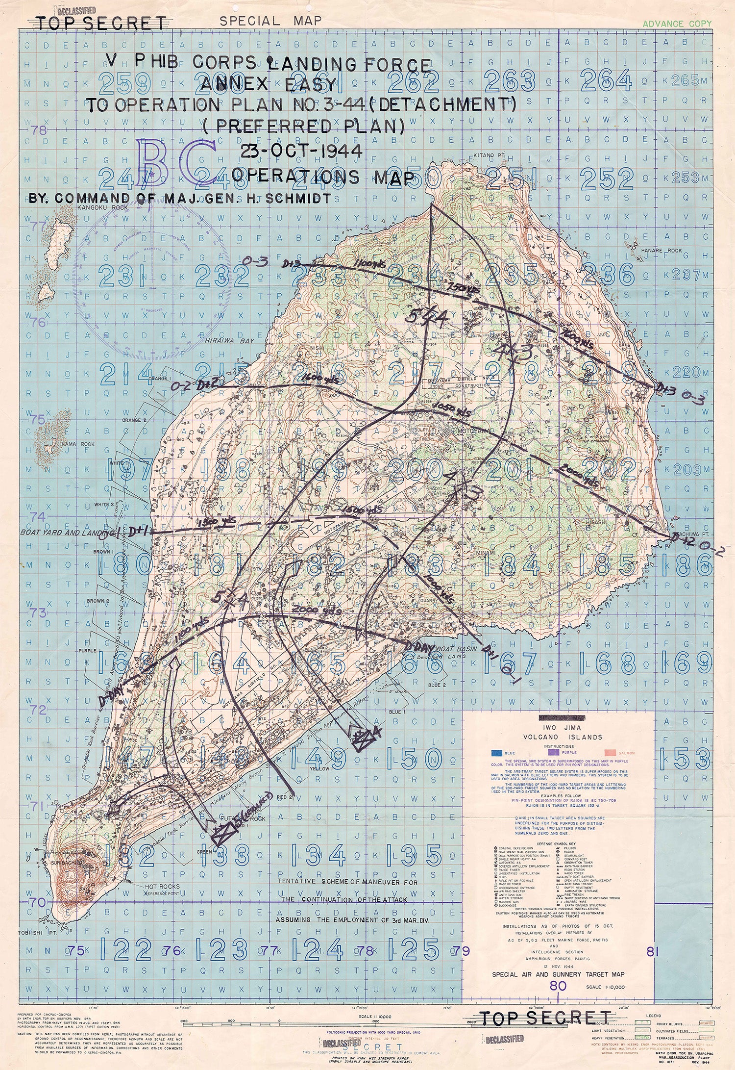
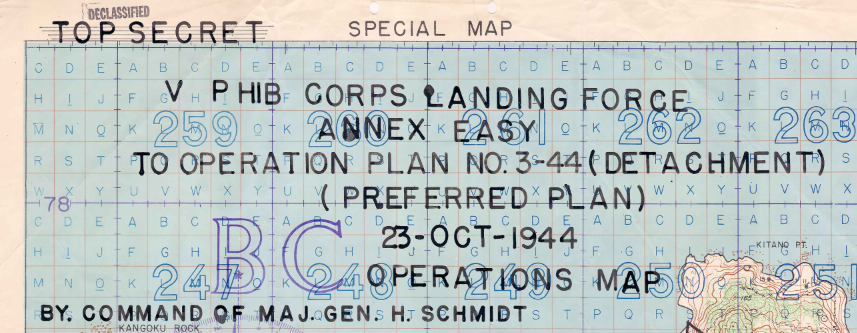
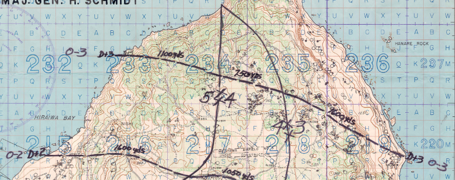
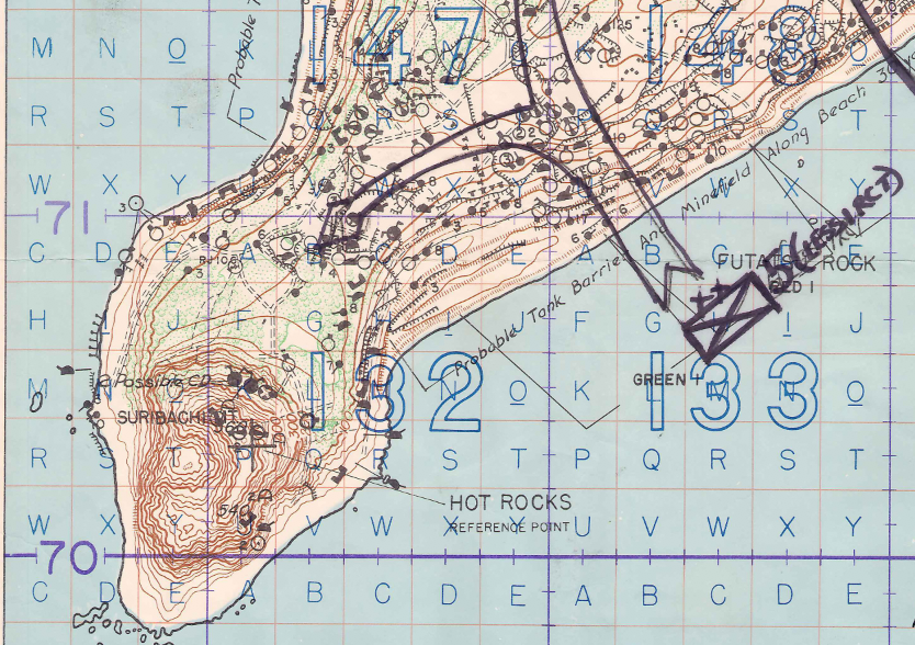
The Marines who went ashore on Iwo Jima on February 19, 1945 were following a plan that took shape on this map: a Top Secret V Amphibious Corps operations map dated October 23, 1944, issued by command of Major General Harry Schmidt and offered here as a museum-quality reproduction. Nearly four months before the landing, corps planners marked beaches, division boundaries, and objective lines across a 1:10,000 target map of the island. Each line set out what the men of the 4th and 5th Marine Divisions would be asked to do, beach by beach and day by day. It is the battle as it was expected to unfold.
Historical Context
By the autumn of 1944, Iwo Jima lay on the route between the new B-29 bases in the Mariana Islands and the Japanese home islands. Its airfields gave Japanese forces early warning of American raids and a base from which fighters could intercept them. On October 19, 1944, Major General Harry Schmidt, commanding V Amphibious Corps, issued the first blueprint for Operation Detachment, the seizure of the island. This map carries the date of October 23, 1944 and shows the corps' preferred plan: a landing over the southeastern beaches. D-Day was first scheduled for February 3, 1945 and later postponed to February 19. The battle that followed lasted until March 26, 1945.
The Map's Features
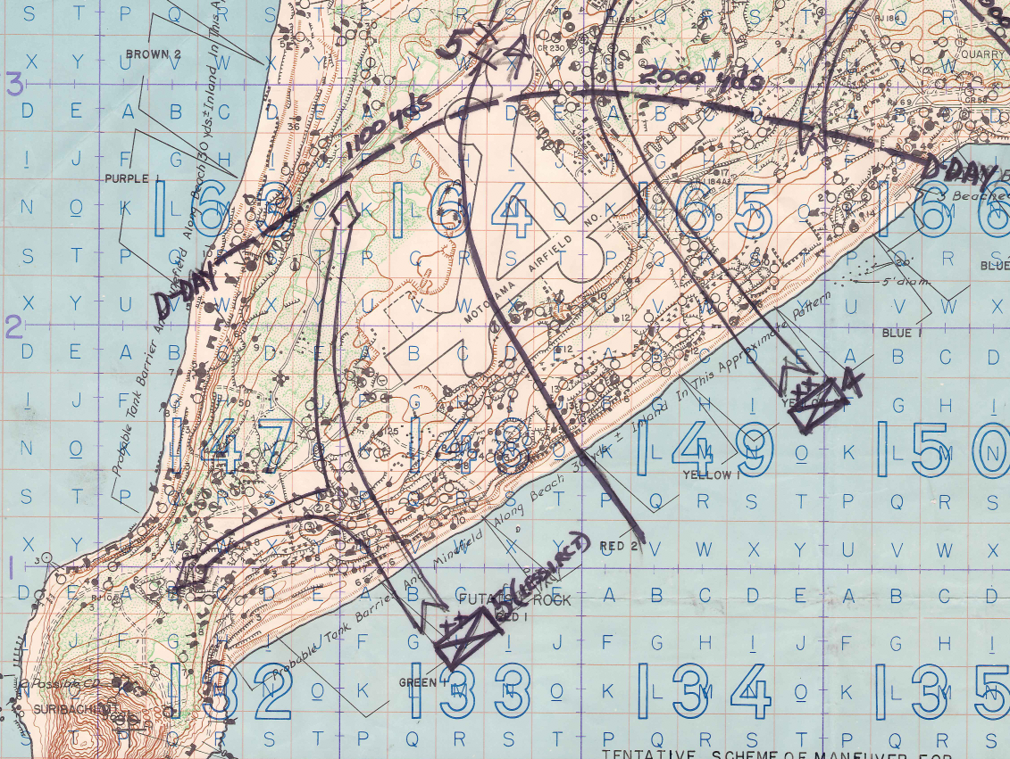
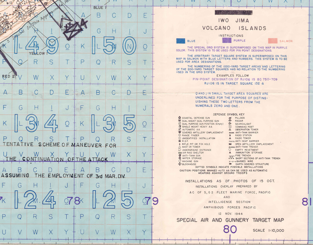
The base sheet is a Special Air and Gunnery Target Map at a scale of 1:10,000, compiled from Navy aerial photography flown on August 19 and September 1, 1944. Over it, planners marked the landing beaches from Green 1 to Blue 2, the boundaries between the 5th, 4th, and 3d Marine Divisions, and objective lines labeled with the day each was expected to be reached. An intelligence overlay dated November 12, 1944 plots known Japanese defenses by symbol, from coastal defense guns and pillboxes to anti-tank trenches. Mount Suribachi, marked with the reference point "Hot Rocks," anchors the southern tip, with the Motoyama airfields across the center of the island. The sheet still carries its Top Secret markings and a later Declassified stamp.
Historical Significance
This map records the assault on Iwo Jima as it was planned, not as it was fought. Its objective lines anticipated an advance measured in days; the battle lasted five weeks against defenses built largely underground. A caution printed in the margin states the limit plainly: the map was compiled from aerial photographs without ground control or reconnaissance. For a family whose Marine served with the 3d, 4th, or 5th Marine Division, and for any serious student of the Pacific War, it shows the ground those men were sent to take and the plan they were handed.
Framing Options
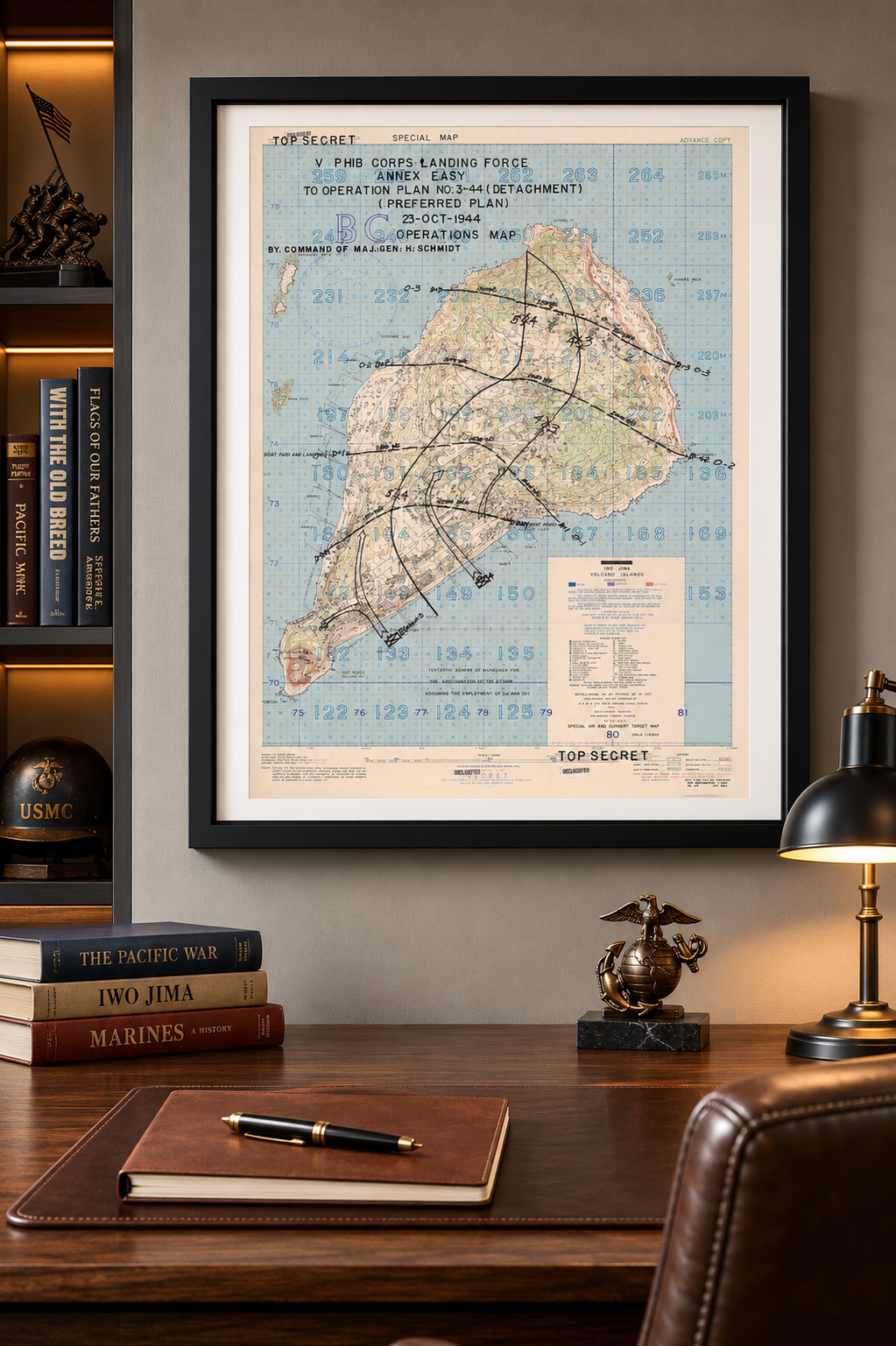
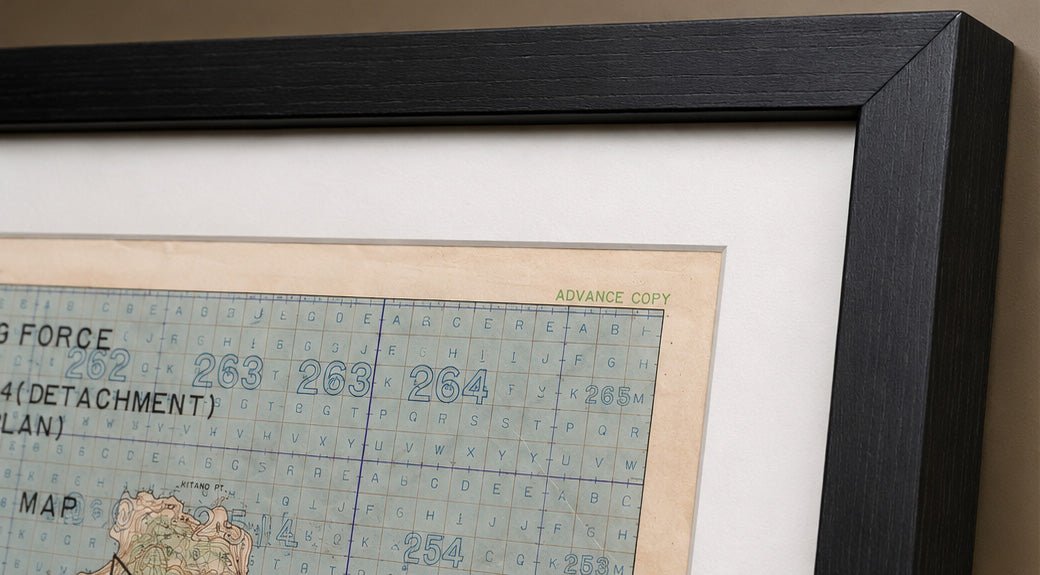
This map is available unframed or professionally framed and ready to hang. Our framing partner uses museum-quality materials to protect and present your map for long-term display. Choose from a classic Black frame or a warm Walnut Brown frame — both available with your order. Please allow 3–4 weeks for delivery on framed orders.
Museum-Quality Reproduction
This is a high-quality reproduction of the original historic map, professionally printed on premium archival paper using the Giclée printing process to preserve fine cartographic detail, line clarity, and period authenticity for long-term display.
Perfect For
- Marine Corps veterans and the families of those who served on Iwo Jima
- World War II and Pacific Theater historians
- Collectors of military maps and primary-source cartography
- A gift for a Marine, a veteran, or a military family
- Offices, libraries, and studies
Specifications
- Depicts: Planned V Amphibious Corps assault on Iwo Jima (Operation Detachment); battle fought February 19 – March 26, 1945
- Conflict: World War II, Pacific Theater
- Battle Result: American Victory
- Original Publication: November 1944 (operations plan dated October 23, 1944)
- Publisher: 64th Engineer Topographic Battalion, U.S. Army Forces in Central Pacific Area, for CINCPAC-CINCPOA
- Style: WWII U.S. Top Secret operations map on a Special Air and Gunnery Target Map base
- Original Scale: 1:10,000
- Product Type: Giclée reproduction on premium archival paper
- Printed In: Rochester Hills, Michigan
Dimensions (Width x Height): 24 x 34.9 inches (61 x 88.6 cm)
Each map is printed using the finest materials and methods. Your map will be handled with white gloves from start to finish. We use the Giclée printing method on premium archival paper, which produces a clear, extremely detailed, durable map perfect for proud display in your home or office.
Choose options
