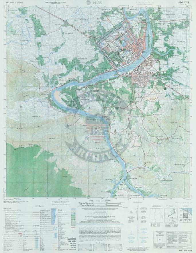


Hue City, Vietnam – 1968 Topographical Map
Hue City, Vietnam – 1968 Topographical Map
Hue was the imperial capital of Vietnam from 1802 to 1945 and became the site of one of the longest and most intense battles of the Vietnam War during the Tet Offensive of 1968. North Vietnamese and Viet Cong forces seized much of the city, including the historic Citadel, before U.S. Army, U.S. Marine Corps, and South Vietnamese units fought block by block to retake it. This detailed 1968 topographical map captures Hue and its surrounding terrain at the height of that historic urban battle.
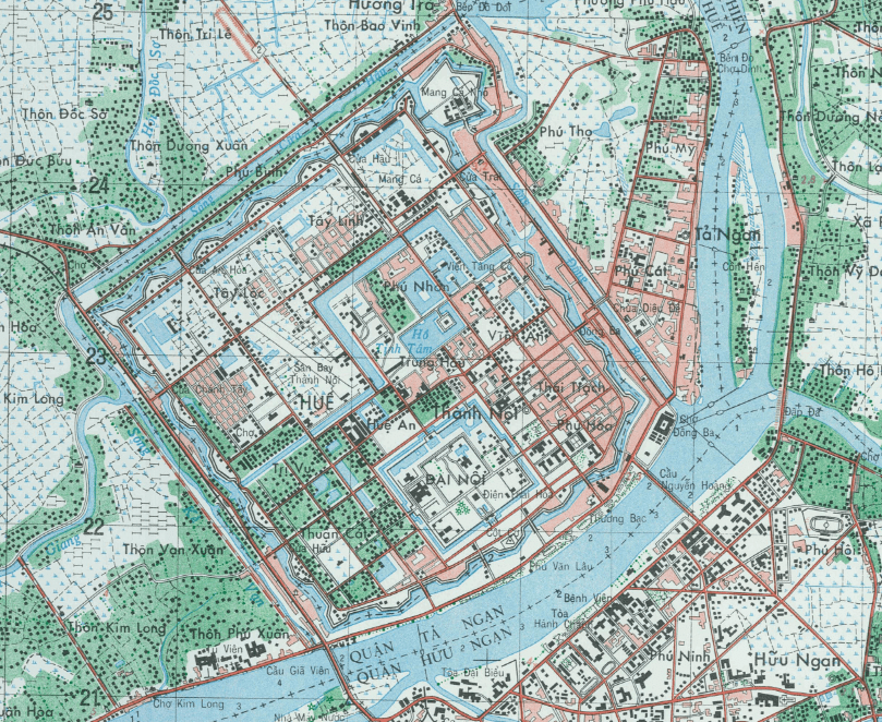
Historical Context By early 1968, Hue became a focal point of the Tet Offensive. The city’s strategic location along the Perfume River and its fortified Citadel made it both symbolically and militarily significant. Weeks of intense house-to-house fighting unfolded within the ancient walls and across the river crossings, marking one of the rare large-scale urban engagements of the war.
The Map’s Features This large-scale topographical map (1:25,000) provides precise military detail of Hue’s urban grid, the Citadel complex, bridges, road networks, waterways, and surrounding terrain. Elevation contours, vegetation, and infrastructure are clearly defined, offering a comprehensive operational snapshot of the battlefield environment as it existed during the conflict.
Historical Significance The Battle of Hue became one of the defining engagements of the Vietnam War, highlighting the challenges of urban warfare and the strategic importance of terrain. This map preserves the physical layout of the city during that critical moment, documenting the geography that shaped the fighting.
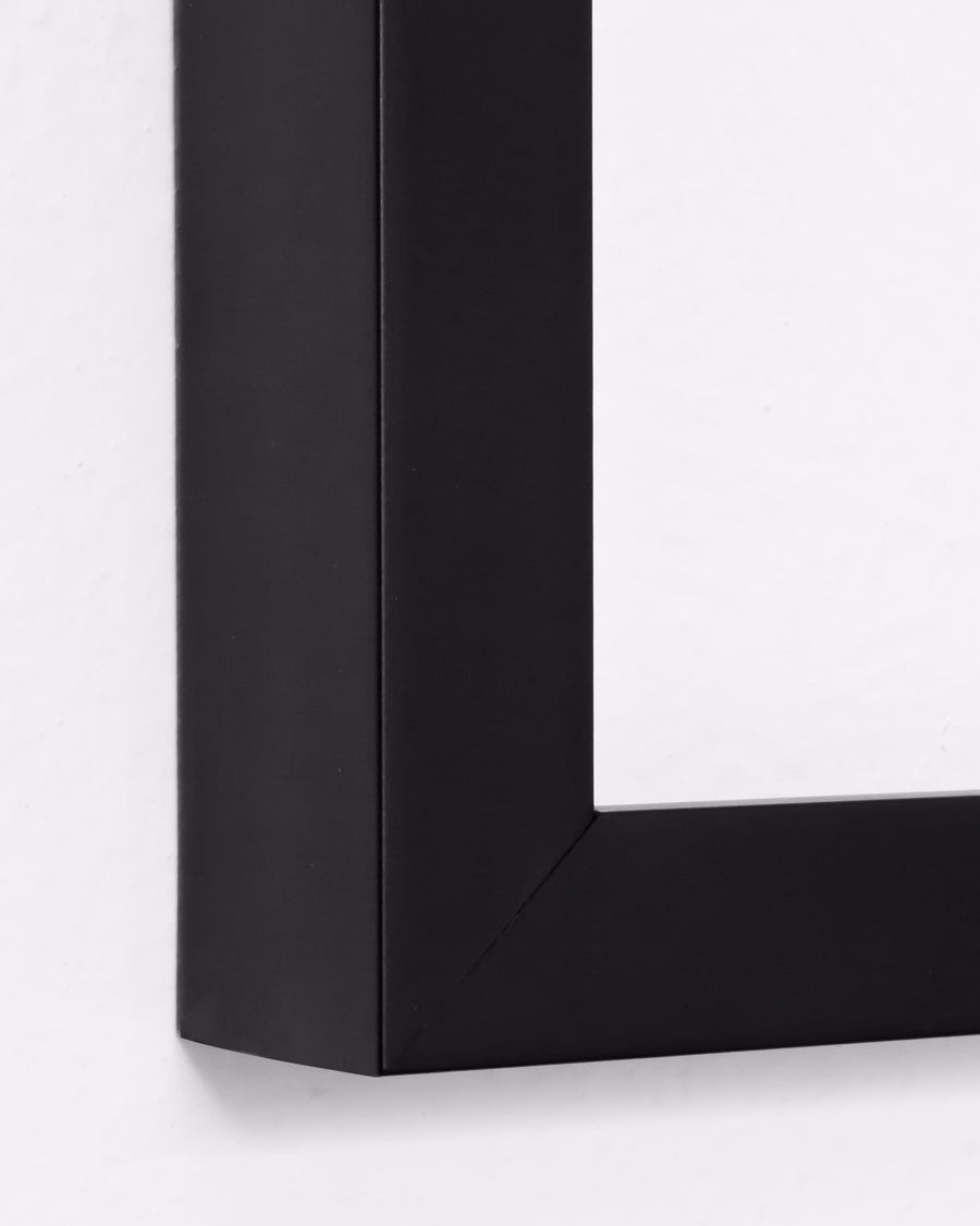
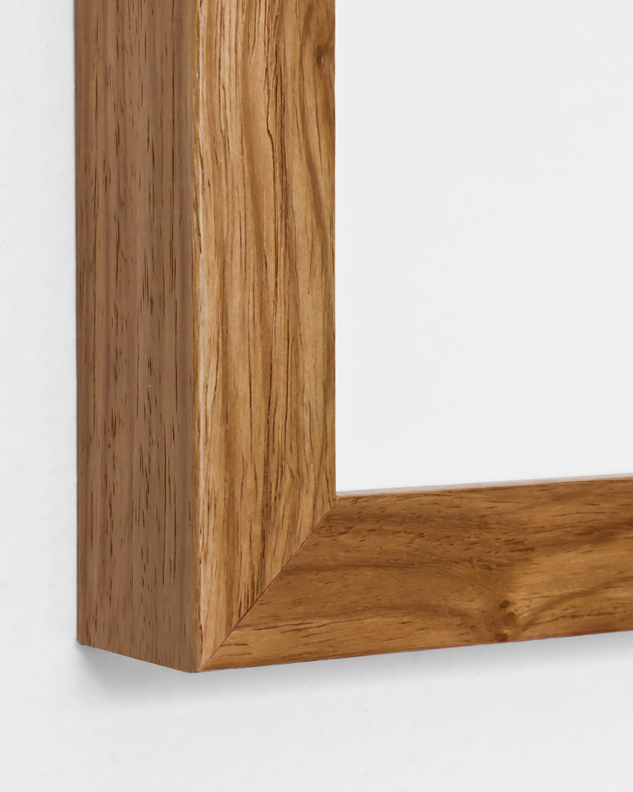
Framing Options This map is available unframed or professionally framed and ready to hang. Choose from a classic Black Frame or a warm Walnut Brown Frame, each matted with 4-ply white archival mat board and finished with non-glare acrylic glazing for a clean, museum-style presentation. Framed orders are professionally assembled and shipped directly to your door. Please allow 3–4 weeks for delivery on framed orders.
Museum-Quality Reproduction This is a high-quality reproduction of the original 1968 topographical map, professionally printed on archival Hahnemühle paper using the Giclée printing process to preserve fine cartographic detail, line clarity, and period accuracy for long-term display.
Perfect For:
• Vietnam War veterans and military families
• Military history and urban warfare enthusiasts
• Collectors of Vietnam-era military cartography
• Offices, studies, and veteran memorial spaces
• Gifts honoring service in Southeast Asia
Specifications:
• Original Publication: 1968
• Scale: 1:25,000
• Style: Military topographical city map
• Battle/Conflict: Vietnam War (Battle of Hue)
• Product Type: High-Quality Reproduction Print
Dimensions (Width x Height, inches): 22.6 x 29
Each map is printed using the finest materials and methods. Your map will be handled with white gloves from start to finish. We use the Giclée printing method on Hahnemühle paper, which produces a clear, extremely detailed, durable map perfect for proud display in your home or office.
Digital watermark does not appear on your purchased map
Choose options
