

Guadalcanal, Solomon Islands – 1944 Hand-Sketched Topographical Map
Guadalcanal, Solomon Islands – 1944 Hand-Sketched Topographical Map
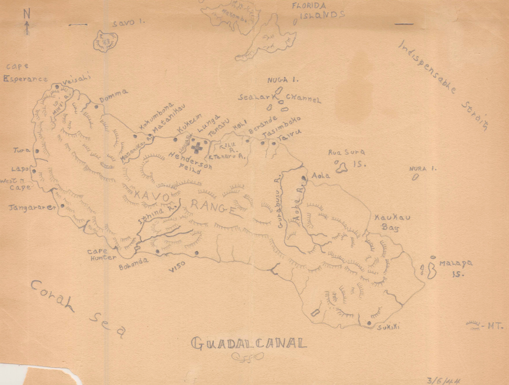
Guadalcanal was the opening Allied offensive in the Pacific, a six-month campaign from August 1942 to February 1943 fought to deny Japan the airfield that would become Henderson Field and halt its southward advance toward Australia. The struggle for the island encompassed brutal jungle fighting and a series of naval engagements so costly that the surrounding waters earned the name Iron Bottom Sound. This hand-drawn sketch map, completed in 1944, renders the island's geography in the personal, unpolished style of a serviceman who knew its terrain firsthand.
Historical Context By 1944, Guadalcanal had transitioned from active battlefield to rear-area staging ground, and maps like this one reflect that shift — a working sketch made for orientation and reference rather than operational planning. The island's coastal villages, river systems, and the Kavo Range dominate the composition, with Henderson Field marked near the center as the strategic prize that had defined the earlier campaign. Hand lettering and pencil linework give the map an immediacy that printed military charts lack, suggesting it was drawn by someone stationed on or near the island in the campaign's aftermath.
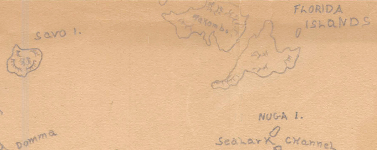
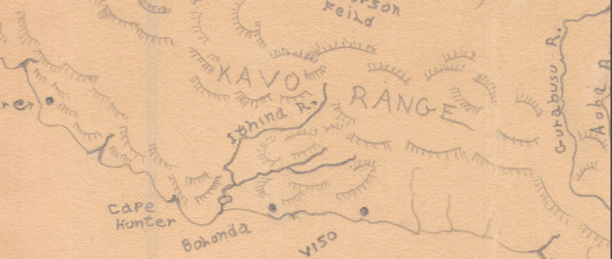
The Map's Features The sketch traces Guadalcanal's coastline from Cape Esperance and West Cape in the northwest to Cape Hunter and Sukiki in the southeast, marking villages including Kokumbona, Matanikau, Lunga, Tenaru, Koli, Berande, and Tasimboko. Rivers are rendered by hand — the Matanikau, Lunga, Tenaru, Kura, and Aola among them — alongside the Kavo Range's mountainous interior, denoted with informal hatching. Henderson Field is marked with a cross near the Lunga River, and surrounding waters including Sealark Channel, the Coral Sea, and Indispensable Strait are labeled, along with nearby islands such as Savo, Florida, Malapa, and Nura.
Historical Significance As a rare hand-drawn artifact rather than a formally printed military chart, this map preserves a personal, on-the-ground perspective of the island that became synonymous with the first major Allied victory in the Pacific. It documents Guadalcanal not through the lens of tactical planning but through the eyes of someone who lived its geography, offering collectors a uniquely intimate counterpart to the operational maps that dominate the historical record.
Framing Options This map is available unframed or professionally framed and ready to hang. Our framing partner uses museum-quality materials to protect and present your print for long-term display. Choose from a classic Black frame or a warm Walnut Brown frame — both available with your order. Please allow 3–4 weeks for delivery on framed orders.
Museum-Quality Reproduction This is a high-quality reproduction of the original historic map, professionally printed on archival Hahnemühle paper using the Giclée printing process to preserve fine cartographic detail, line clarity, and period authenticity for long-term display.
Perfect For:
- World War II and Pacific Theater historians
- Guadalcanal veterans and military families
- Collectors of hand-drawn and personal wartime artifacts
- Offices, libraries, and study spaces
- Gifts honoring Pacific Theater service
Specifications:
- Original Publication: 1944 (dated March 6, 1944)
- Style: Hand-sketched topographical reference map
- Region/Campaign: Guadalcanal, Solomon Islands, World War II
- Product Type: High-Quality Reproduction Print
Dimensions (Width x Height): 11.9 x 9
Each map is printed using the finest materials and methods. Your map will be handled with white gloves from start to finish. We use the Giclée printing method on Hahnemühle paper, which produces a clear, extremely detailed, durable map perfect for proud display in your home or office.
Choose options
