

Guadalcanal and Florida Islands, Solomon Islands – 1942 Topographical Intelligence Map
Guadalcanal and Florida Islands, Solomon Islands – 1942 Topographical Intelligence Map
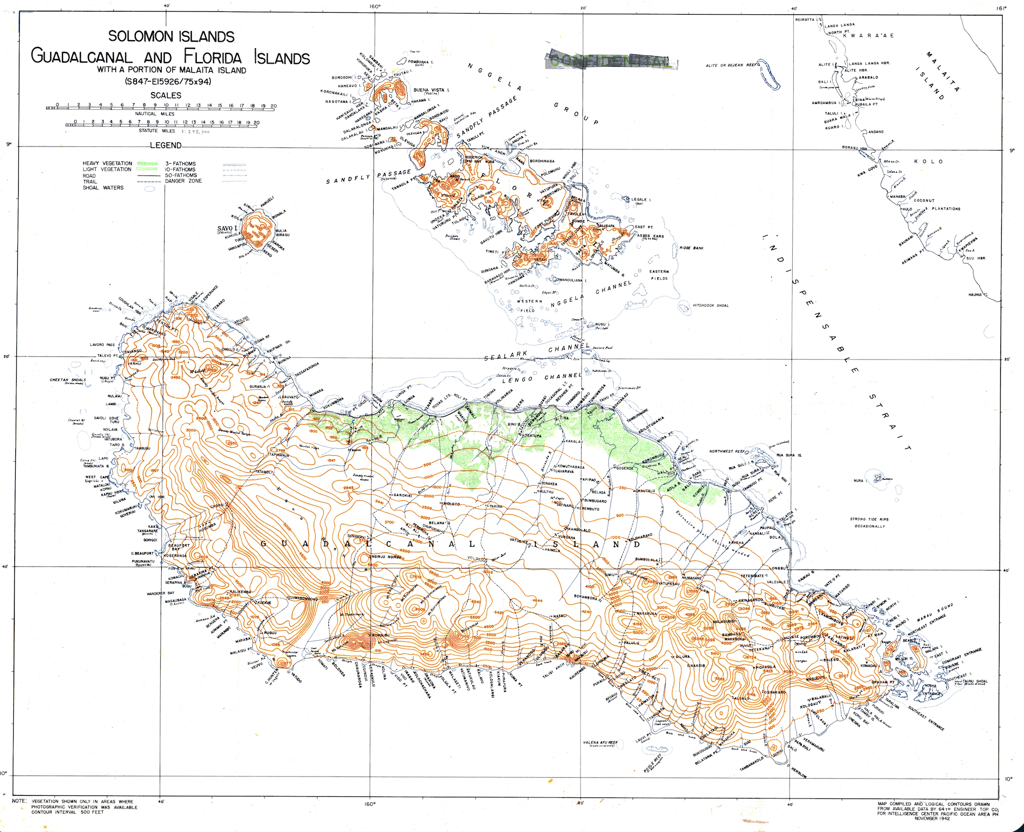
The Battle for Guadalcanal, fought from August 1942 through February 1943, marked the first major Allied offensive of the Pacific War. Determined to halt Japanese expansion toward Australia, U.S. forces targeted the partially completed Japanese airfield on Guadalcanal — later renamed Henderson Field after its capture. The campaign became a brutal six-month struggle across land, sea, and air, and this detailed intelligence map was compiled at its height to support Allied planning across the theater.
Historical Context Guadalcanal saw repeated ground assaults through dense jungle terrain, while major naval engagements raged offshore. The waters surrounding the island became known as "Iron Bottom Sound" due to the extraordinary number of American and Japanese ships sunk during the campaign. Compiled in November 1942 by the 64th Engineer Topographic Company for the Intelligence Center Pacific Ocean Area, this map reflects the Allies' urgent need for accurate terrain and coastal data as the campaign for Henderson Field intensified.
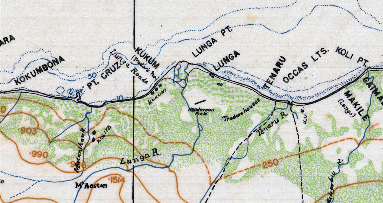
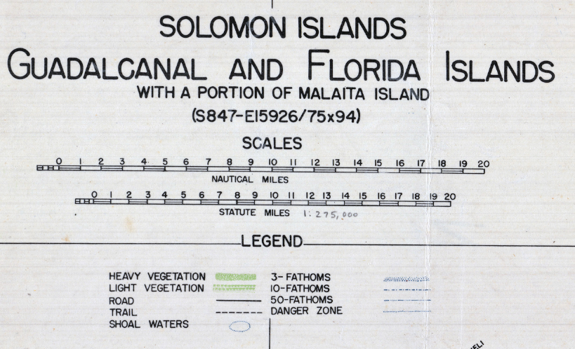
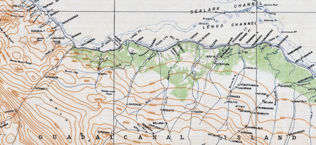
The Map's Features This large-format intelligence map presents Guadalcanal in extensive topographical detail, with 500-foot contour intervals tracing the island's mountainous interior, alongside nearby Florida and Savo Islands and a portion of Malaita. A detailed legend distinguishes heavy and light vegetation, roads, trails, and offshore depths in fathoms, while danger zones and shoal waters are marked along the coastline. Dozens of coastal villages, anchorages, and geographic features are labeled throughout, offering a comprehensive intelligence-grade view of the theater of operations.
Historical Significance Control of Henderson Field proved decisive, allowing Allied air power to dominate the surrounding seas and shifting the strategic momentum of the Pacific War. This map preserves the terrain and maritime geography that Allied planners relied on during one of the war's most pivotal campaigns — a working intelligence document from the height of the struggle rather than a retrospective summary of it.
Framing Options This map is available unframed or professionally framed and ready to hang. Our framing partner uses museum-quality materials to protect and present your print for long-term display. Choose from a classic Black frame or a warm Walnut Brown frame — both available with your order. Please allow 3–4 weeks for delivery on framed orders.
Museum-Quality Reproduction This is a high-quality reproduction of the original historic map, professionally printed on archival Hahnemühle paper using the Giclée printing process to preserve fine cartographic detail, line clarity, and period authenticity for long-term display.
Perfect For:
- U.S. Marine Corps and Navy veterans
- Pacific War historians and collectors
- Students of amphibious and naval warfare
- Offices, studies, and veteran memorial spaces
- Gifts honoring service in World War II
Specifications:
- Original Publication: November 1942
- Scale: 1:275,000
- Style: Topographical intelligence map
- Region/Campaign: Guadalcanal and Florida Islands, World War II
- Product Type: High-Quality Reproduction Print
Dimensions (Width x Height): 24.5 x 20
Each map is printed using the finest materials and methods. Your map will be handled with white gloves from start to finish. We use the Giclée printing method on Hahnemühle paper, which produces a clear, extremely detailed, durable map perfect for proud display in your home or office.
Choose options
