

Battle of Fort Sumter – April 1861 Charleston Harbor Battle Map
Battle of Fort Sumter - April 1861 Charleston Harbor Battle Map
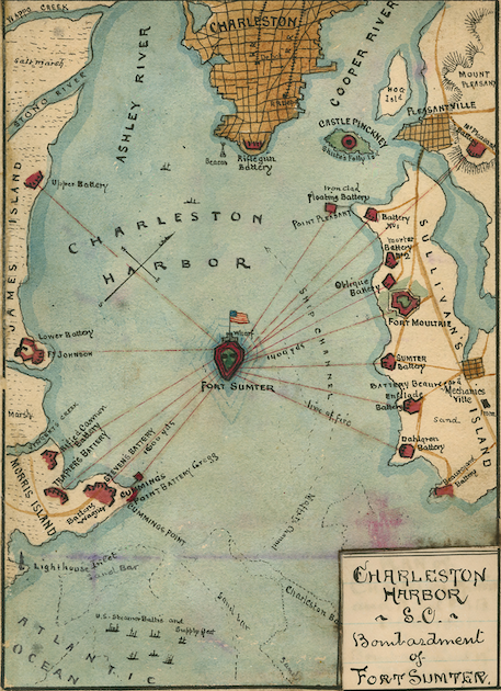
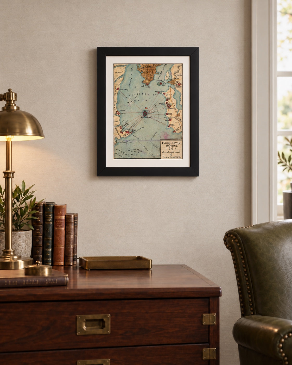
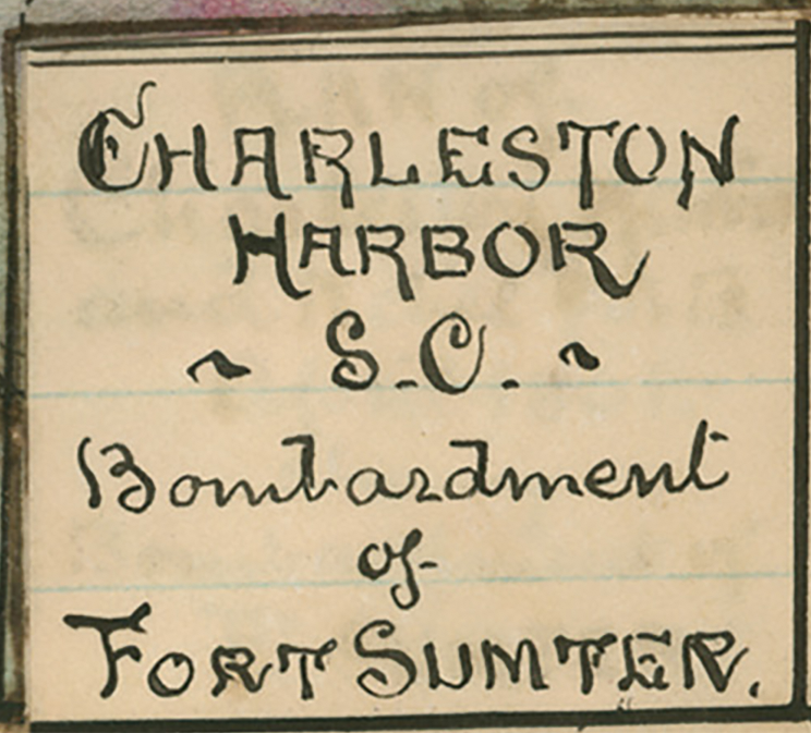
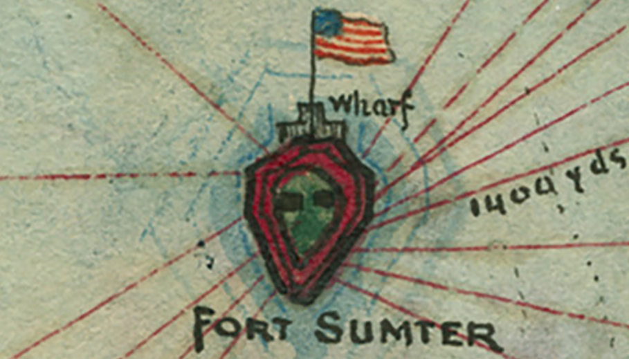
Major Robert Anderson and his garrison of 85 men sat at the center of this map on April 12–13, 1861: a hand-drawn pen-and-watercolor map of the bombardment of Fort Sumter in Charleston Harbor, South Carolina, made about 1862–1865 by Union Army mapmaker Robert Knox Sneden and offered here as a museum-quality reproduction. The fort is drawn in red in the middle of the harbor with a United States flag above it. Red lines of fire run to it from the batteries on Morris Island, James Island and Sullivan’s Island. The title panel in the lower right corner reads “Charleston Harbor S.C. Bombardment of Fort Sumter.”
Historical Context
Confederate batteries opened fire on Fort Sumter at about 4:30 on the morning of April 12, 1861, after Major Anderson refused General P. G. T. Beauregard’s demand to evacuate. The bombardment lasted about 34 hours. A relief expedition had reached the harbor mouth but could not get in, and with the fort on fire Anderson agreed on April 13 to give it up. No soldier on either side was killed in the bombardment. Two days later President Lincoln called for 75,000 militia, and the war had begun.
The Map’s Features
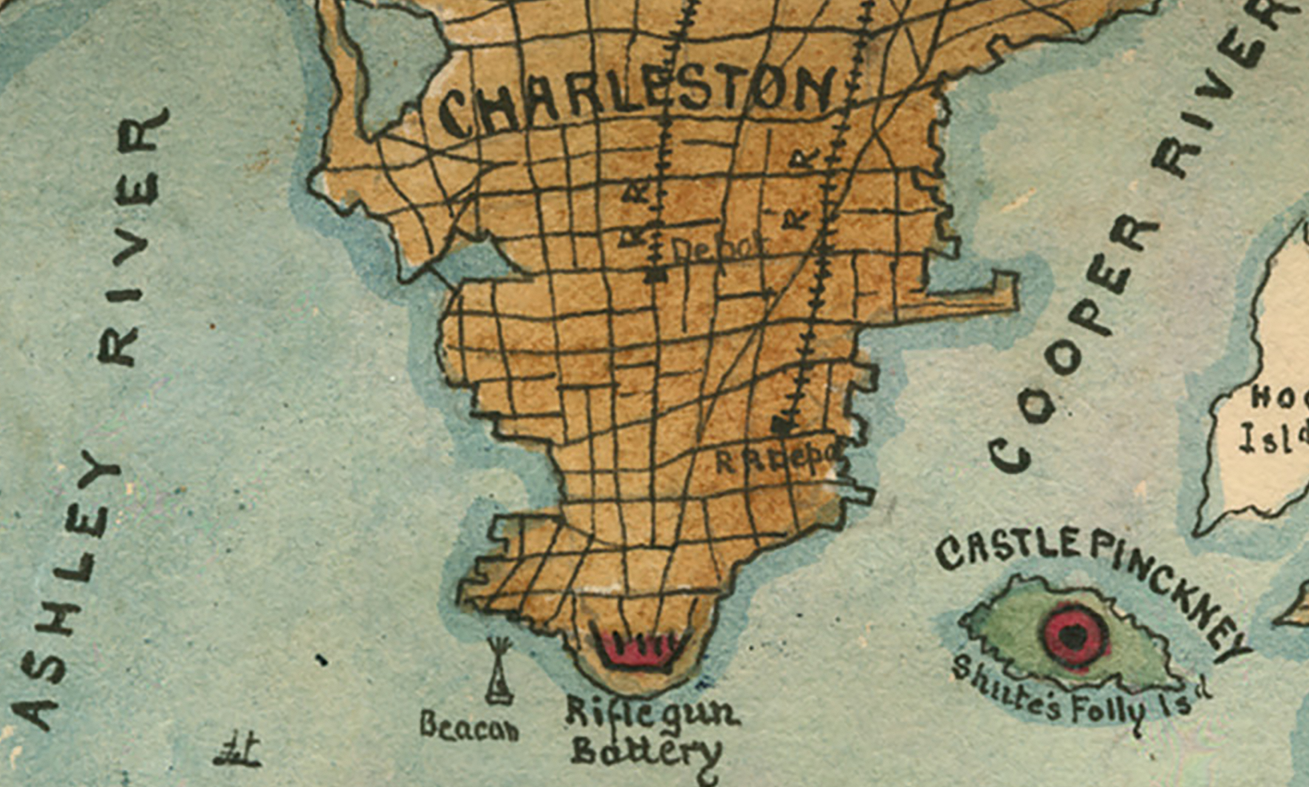
Each firing position is named in Sneden’s hand: Fort Moultrie, the Iron Clad Floating Battery, Battery No. 1, Mortar Battery No. 2, the Oblique, Sumter, Enfilade and Dahlgren batteries on the Sullivan’s Island side; Fort Johnson with its Upper and Lower batteries on James Island; and Trapier’s Battery, Steven’s Battery, a Rifled Cannon Battery and Cummings Point on Morris Island. Two ranges are written along the lines of fire, “1400 yds” and “1600 yds.” Charleston appears at the top as a street grid in ochre wash with its railroad depot, and Castle Pinckney, Mount Pleasant, and the Ashley and Cooper Rivers are all lettered. Off the bar at the bottom, small ships are labeled “U.S. Steamer Baltic and Supply fleet.” The Ship Channel, Maffitt’s Channel and the Charleston Bar are drawn in dotted lines.
Historical Significance
Sneden enlisted in the 40th New York Infantry in 1861 and served from 1862 as a mapmaker on the staff of the Army of the Potomac’s III Corps. He was captured in November 1863, held at Andersonville, and exchanged at Charleston in December 1864. He was not in Charleston Harbor in April 1861, and this map is his reconstruction of the bombardment. The Morris Island labels include Battery Wagner and Battery Gregg, names that belong to the later siege, which marks the map as a retrospective drawing. It is a soldier-artist’s account of where the war started, drawn by a man who spent the rest of that war mapping it.
Museum-Quality Reproduction
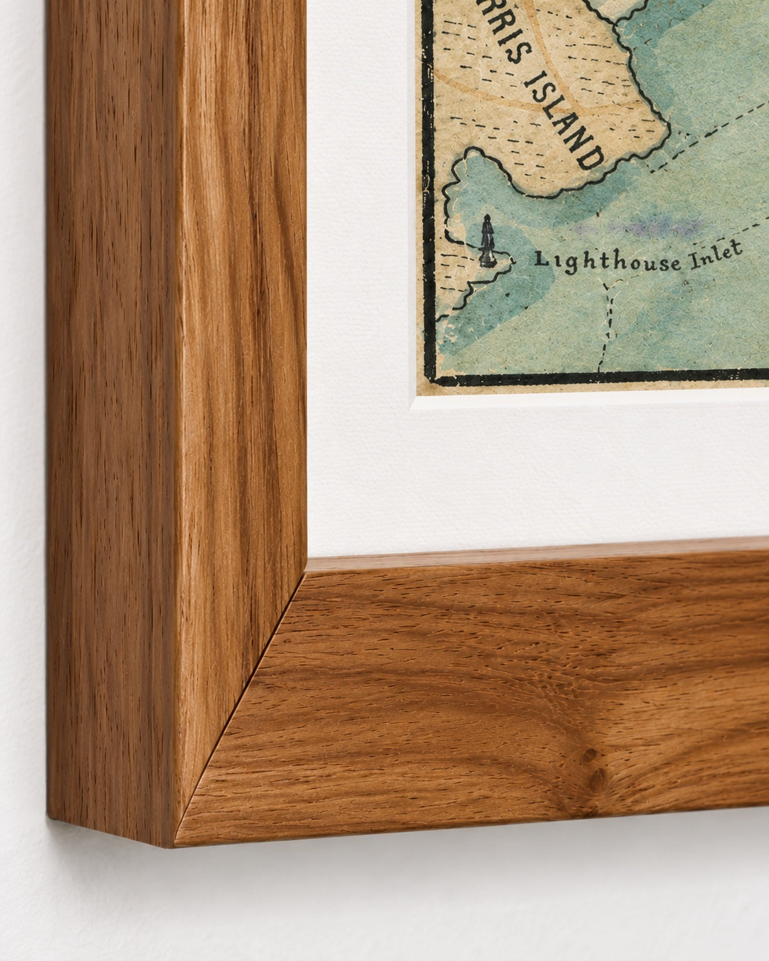
This is a high-quality reproduction of the original historic map, professionally printed on premium archival paper using the Giclée printing process to preserve fine cartographic detail, line clarity, and period authenticity for long-term display.
Perfect For:
- Civil War readers and collectors of period battle maps
- Collectors of Robert Knox Sneden’s maps and watercolors
- Charleston and South Carolina families and residents
- Students of coastal artillery and harbor defense
- Offices, studies and libraries
Specifications:
- Depicts: Confederate bombardment of Fort Sumter, Charleston Harbor, South Carolina, April 12–13, 1861
- Conflict: American Civil War
- Battle Result: Confederate Victory
- Original Publication: Circa 1862–1865 (manuscript map)
- Cartographer: Robert Knox Sneden
- Style: Hand-drawn pen-and-watercolor battle map
- Product Type: Giclée reproduction on premium archival paper
- Printed In: Rochester Hills, Michigan
Dimensions (Width x Height): 12 x 16.6 inches (30.5 x 42.2 cm)
Each map is printed using the finest materials and methods. Your map will be handled with white gloves from start to finish. We use the Giclée printing method on premium archival paper, which produces a clear, extremely detailed, durable map perfect for proud display in your home or office.
Read more in Field Notes: The First Shots: Fort Sumter and the Opening of the American Civil War
Choose options
