



Denver, Colorado – 1881 Bird’s Eye View Map
Denver, Colorado – 1881 Bird’s Eye View Map
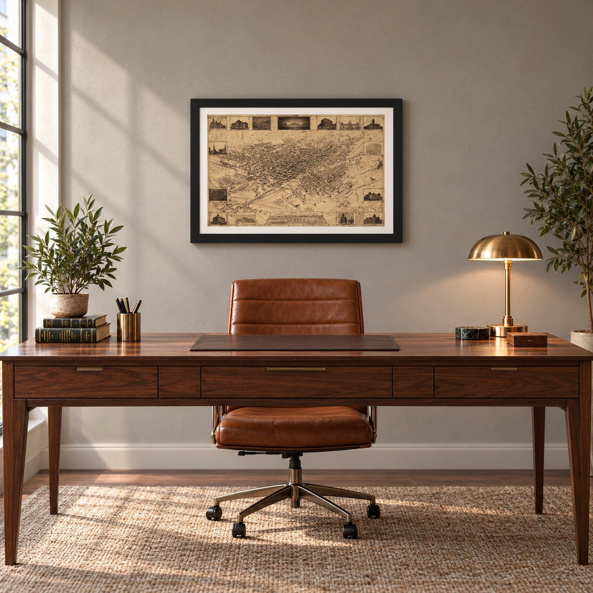
The people who turned a gold-rush camp on the South Platte into a city of more than 35,000 are the subject of this bird’s-eye view map of Denver, Colorado, drawn by J.H. Flett in 1881 to show the city as it stood that year and offered here as a museum-quality reproduction. Flett drew Denver from an imagined point high above the river, block by block and building by building. Around the edge he set fifteen framed views of buildings its residents had recently put up, and in the title panel he placed a small scene captioned “Denver 1859.” The camp and the city sit on the same sheet, twenty-two years apart.
Historical Context
Denver was staked out in November 1858 where Cherry Creek meets the South Platte River, during the Pike’s Peak gold rush. For its first decade it was a supply town reached by wagon, and the 1870 census counted 4,759 residents. That June the Denver Pacific Railway tied the town to the Union Pacific main line at Cheyenne, and the Kansas Pacific arrived from the east later that summer. Colorado became a state on August 1, 1876, and the Leadville silver strikes that followed sent mining money into Denver’s banks, hotels and business blocks. The 1880 census counted 35,629 people. In 1881, the year on this map, the Union Depot opened to bring the city’s railroads into one station, and Colorado voters confirmed Denver as the permanent state capital.
The Map’s Features
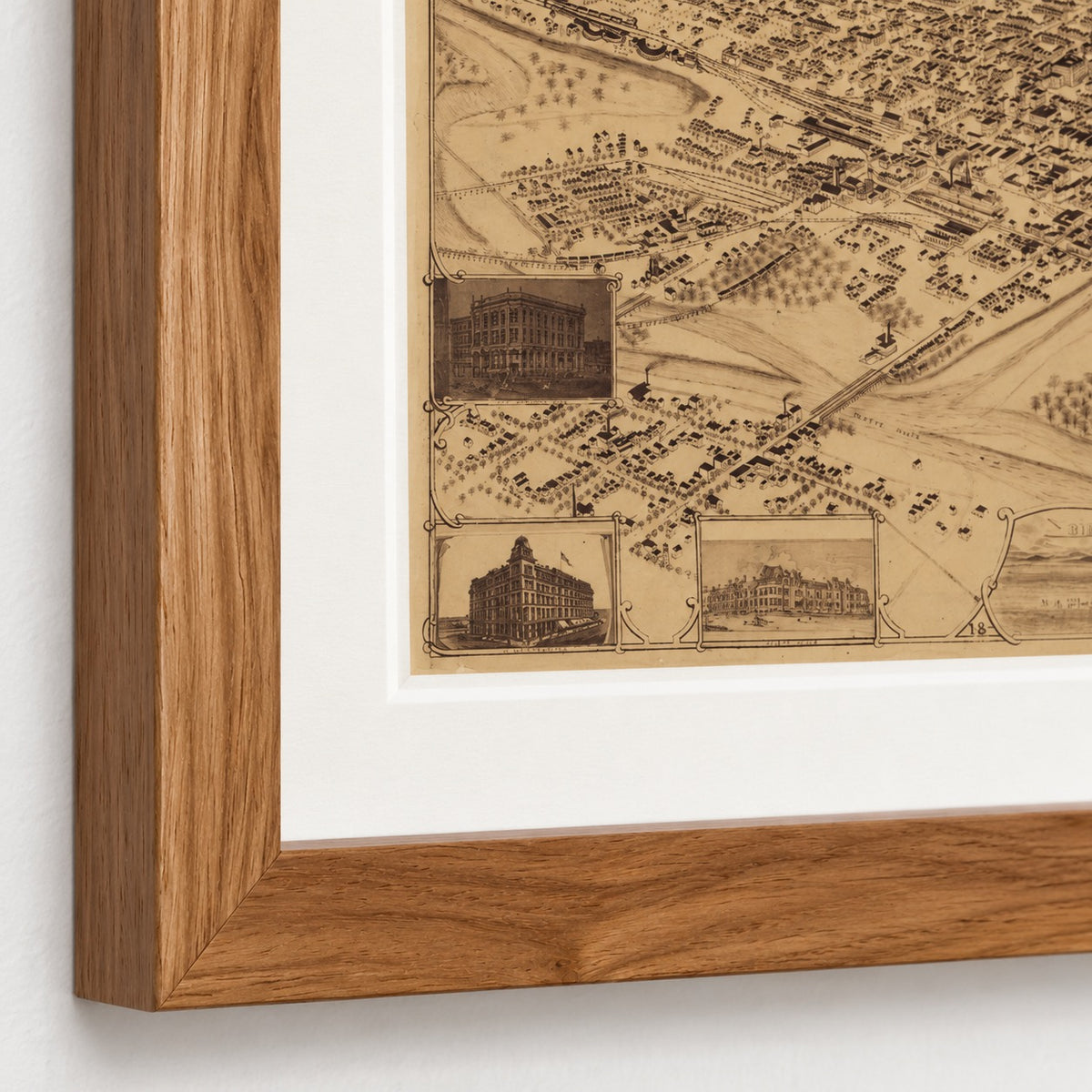
The title panel at the bottom center reads “Bird’s Eye View of the City of Denver, Colorado,” with “18” and “81” set in its lower corners and the credit “Drawn by J.H. Flett.” The view is drawn in a single tone, without added color. It looks down at an angle on the street grid, with individual buildings, rail yards, track and bridges drawn in and the Platte River labeled in the foreground. Fifteen framed views line the border, among them City Hall, the Rocky Mountain Brewery, the Union Depot, the Tabor Block and the Arapahoe County Court House. Inside the title panel are two small scenes: wagons crossing open plain on the left and, on the right, the tents and first buildings of the settlement captioned “Denver 1859.”
Historical Significance
Bird’s-eye views like this one were made to be bought by the people who lived in the city, and they recorded what a town wanted to be known for. Flett’s border is a list of what Denver had built in a few years: a rail depot, a county court house, a city hall, a brewery and commercial blocks raised with mining money. Several of those buildings, including the Tabor Block and the Arapahoe County Court House, were later demolished, and the view is now a record of how they stood in the city. For anyone whose family lived, worked or passed through Denver in those years, this is the city they knew.
Museum-Quality Reproduction
This is a high-quality reproduction of the original historic map, professionally printed on premium archival paper using the Giclée printing process to preserve fine cartographic detail, line clarity, and period authenticity for long-term display.
Perfect For:
- Denver residents and Colorado natives, past and present
- Families tracing ancestors who lived or worked in Denver in the 1880s
- Collectors of American city views and bird’s-eye maps
- Students of Western settlement, railroads and the Colorado mining era
- Homes, offices and libraries with a connection to Denver
Specifications:
- Depicts: The city of Denver, Colorado, as it stood in 1881, with an inset scene of Denver in 1859
- Original Publication: 1881
- Cartographer: J.H. Flett
- Style: Bird’s-eye (perspective) view map, not drawn to scale, with fifteen border views
- Product Type: Giclée reproduction on premium archival paper
- Printed In: Rochester Hills, Michigan
Dimensions (Width x Height): 20 x 13.8 inches (50.8 x 33.3 cm)
Each map is printed using the finest materials and methods. Your map will be handled with white gloves from start to finish. We use the Giclée printing method on premium archival paper, which produces a clear, extremely detailed, durable map perfect for proud display in your home or office.
Choose options
