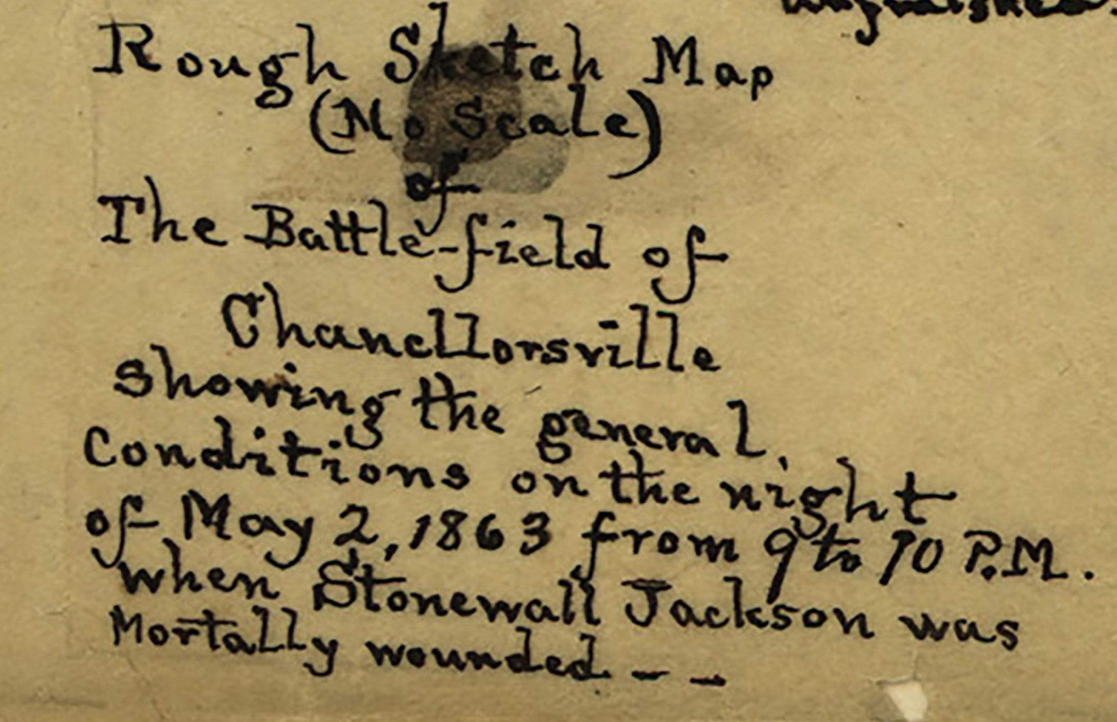


Chancellorsville, Virginia – May 2, 1863 Stonewall Jackson Wounding Battle Map
Chancellorsville, Virginia – May 2, 1863 Stonewall Jackson Wounding Battle Map
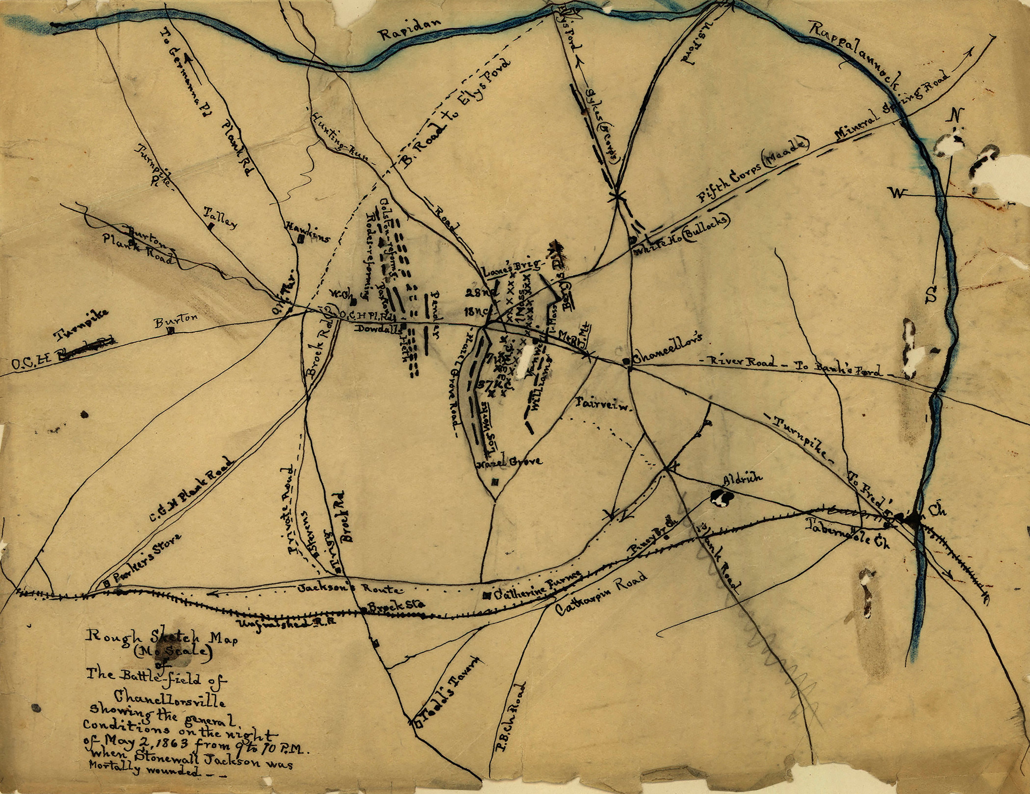
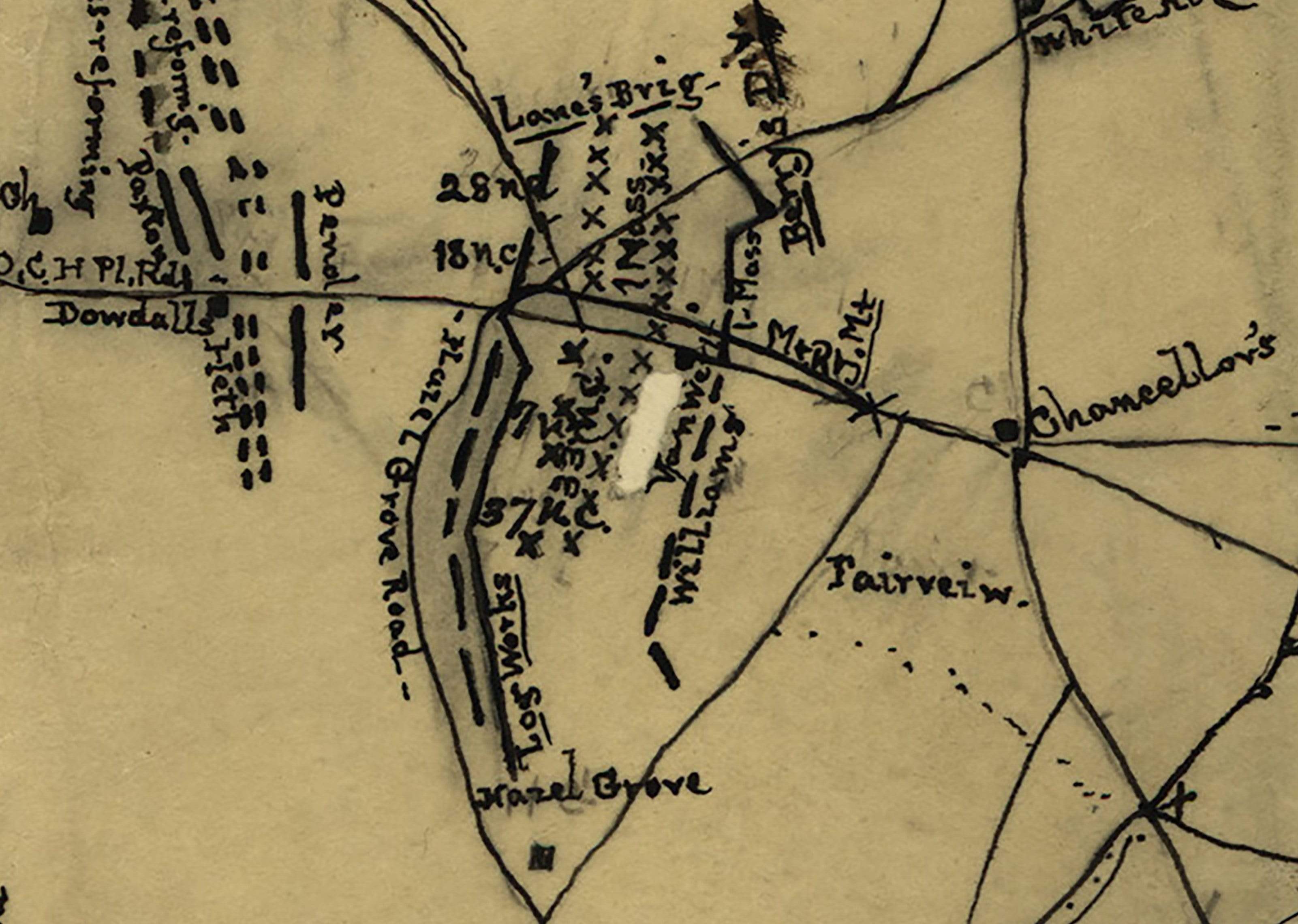
This hand-drawn battlefield sketch captures one of the most consequential hours of the American Civil War — the night of May 2, 1863, between 9 and 10 p.m., when Lieutenant General Thomas "Stonewall" Jackson rode forward to reconnoiter Union lines and was shot by his own men. Drawn at no scale and labeled explicitly as a rough sketch, this primary-source document records the general conditions of the Chancellorsville battlefield at the precise moment the Confederacy suffered its most irreplaceable loss. No other engagement in the war produced a tactical victory so complete and a human cost so catastrophic for the winning side.
Historical Context By the evening of May 2, 1863, Jackson had already executed one of the most audacious flank marches in military history — a 12-mile concealed movement around the exposed right flank of Major General Joseph Hooker's Army of the Potomac. His corps struck the Union XI Corps at dusk, collapsing the Federal line and driving thousands of men in disorder through the dense Wilderness. With the attack stalling in darkness, Jackson rode beyond his own picket lines to assess the ground and plan a night continuation of the assault. Returning to Confederate lines, he was mistaken for Union cavalry and fired upon by the 18th North Carolina Infantry. He was struck by three bullets, his left arm was amputated, and he died of pneumonia eight days later on May 10, 1863. This sketch map freezes the battlefield at that exact moment — 9 to 10 p.m. — when the course of the war quietly changed forever.
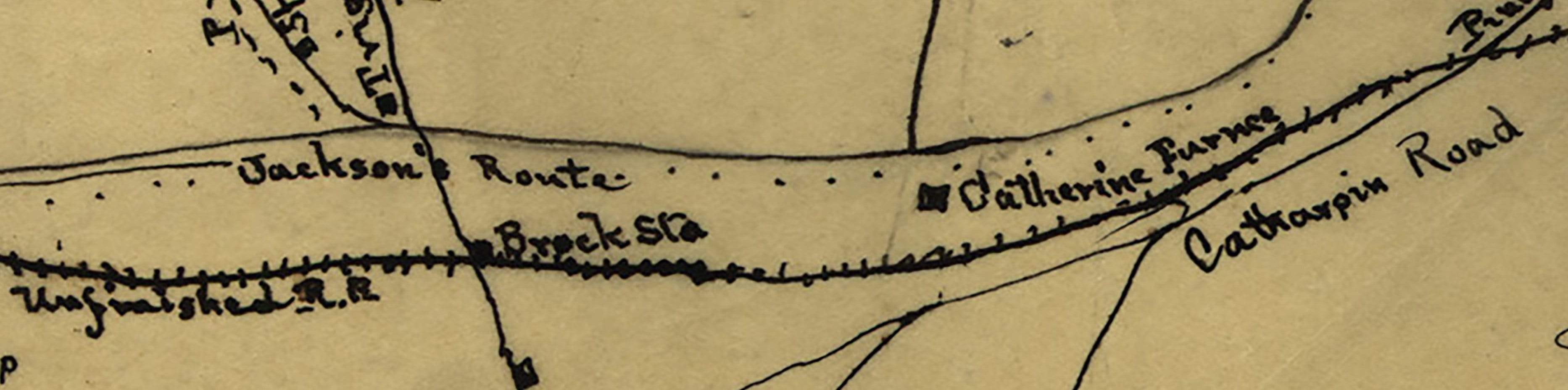
The Map's Features Rendered in ink on period paper, this rough sketch map documents the road network, troop positions, and terrain features surrounding Chancellorsville on the night of May 2, 1863. Jackson's Route is explicitly labeled along the bottom of the composition, tracing the path of his fatal reconnaissance ride. The Rapidan and Rappahannock Rivers are indicated to the north, with the road network radiating outward from the Chancellorsville crossroads — including the Plank Road, the Turnpike, and the Catharpin Road — all of which shaped the tactical situation that evening. Unit positions are clustered around the main Confederate concentration, and the legend confirms the map's purpose: to show the general conditions of the battlefield at the hour Jackson was mortally wounded. The raw, hand-drawn character of the document gives it an immediacy that formal cartography cannot replicate.
Historical Significance The wounding of Stonewall Jackson at Chancellorsville altered the trajectory of the Confederate war effort in ways that no battlefield defeat could have. Lee called him his right arm — an acknowledgment that Jackson's capacity for independent, aggressive action was irreplaceable within the Army of Northern Virginia's command structure. Two months later, at Gettysburg, the absence of that command instinct contributed directly to the Confederate failure to exploit early gains on the first day and to coordinate effectively on the second. This map does not simply document a battle — it marks the hour the Confederacy's strategic ceiling began to fall.
Framing Options This map is available unframed or professionally framed and ready to hang. Choose from a classic Black Frame or a warm Walnut Brown Frame, each matted with 4-ply white archival mat board and finished with non-glare acrylic glazing for a clean, museum-style presentation. Framed orders are professionally assembled and shipped directly to your door. Please allow 3–4 weeks for delivery on framed orders.
Museum-Quality Reproduction This is a high-quality reproduction of the original 1863 hand-drawn battlefield sketch, professionally printed on archival Hahnemühle paper using the Giclée printing process to preserve the raw cartographic character, ink detail, and period authenticity of this exceptional primary-source document for long-term display.
Perfect For:
- Civil War historians and serious collectors
- Students of command, leadership, and operational history
- Descendants of soldiers who fought at Chancellorsville
- Offices, studies, libraries, and heritage displays
- Gifts honoring American Civil War history
Specifications:
- Original Publication: 1863
- Style: Hand-drawn battlefield sketch map
- Battle/Conflict: Battle of Chancellorsville (American Civil War)
- Battle Result: Confederate Victory
- Product Type: High-Quality Reproduction Print
Dimensions (Width x Height): 14 x 10.8
Each map is printed using the finest materials and methods. Your map will be handled with white gloves from start to finish. We use the Giclée printing method on Hahnemühle paper, which produces a clear, extremely detailed, durable map perfect for proud display in your home or office.
Choose options
