


Army Air Forces Attacks in March 1945 – Rhine Crossing Preparation Map
Army Air Forces Attacks in March 1945 – Rhine Crossing Preparation Map
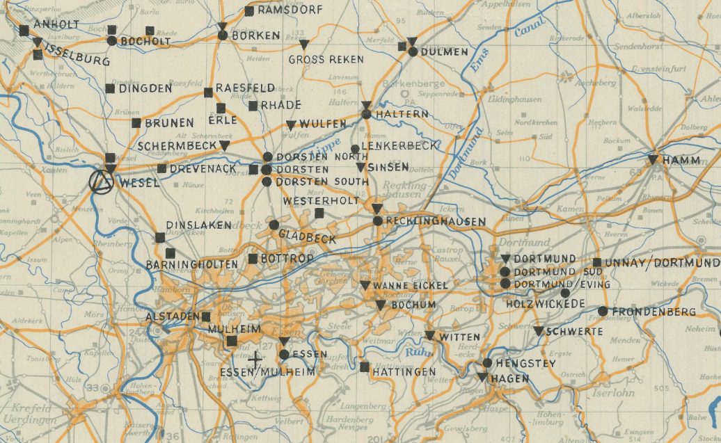
In March 1945, Allied air power intensified its attacks against German positions along the Rhine River in preparation for the final push into the heart of Germany. This targeting map, produced by Supreme Headquarters Allied Expeditionary Force (SHAEF), documents air strikes conducted from 1–23 March 1945 in support of Operation Varsity—the largest single-day airborne drop of the war—and Operation Plunder, the British-led crossings of the Rhine.
Historical Context
By early 1945, the Western Allies stood poised along the Rhine, Germany’s last major natural defensive barrier in the west. To ensure a successful crossing, Allied air forces systematically targeted bridges, rail lines, supply depots, and defensive positions. These coordinated attacks helped neutralize German resistance and enabled airborne and ground forces to establish bridgeheads east of the Rhine, accelerating the collapse of Nazi Germany.
The Map’s Features
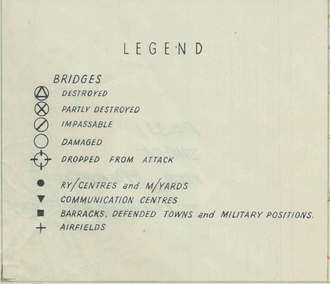
This operational targeting map shows strike locations and concentrations of Allied air attacks across the Rhine sector. Produced at SHAEF headquarters, it reflects the strategic planning and coordination between air and ground forces. The map’s detailed annotations and scale provide insight into how air superiority was leveraged to shape battlefield conditions before one of the final major offensives in Europe.
Historical Significance
Operation Plunder and Operation Varsity marked the beginning of the final Allied advance into Germany. The successful Rhine crossings opened the path toward the Ruhr industrial region and ultimately Berlin. This map captures the air campaign that made that breakthrough possible.
Museum-Quality Reproduction
This is a high-quality reproduction of the original 1945 operational targeting map, professionally printed on archival Hahnemühle paper using the Giclée printing process to preserve detail and clarity for long-term display.
Perfect For:
• World War II history collectors
• Military aviation and airborne enthusiasts
• Scholars of Allied operational planning
• Veterans and active-duty service members
• Offices, studies, and history-focused spaces
Specifications:
• Campaign: Rhine Crossing Operations (Varsity & Plunder)
• Date: March 1–23, 1945
• Created/Published: 1945
• Scale: 1:500,000
• Product Type: High-Quality Reproduction Print
• Battle Result: Allied Victory
Dimensions (Width x Height): 14.4 x 19.5
Each map is printed using the finest materials and methods. Your map will be handled with white gloves from start to finish. We use the Giclée printing method on Hahnemühle paper, producing a clear, extremely detailed, durable map perfect for proud display in your home or office.
Digital watermark does not appear on your purchased map
Choose options
