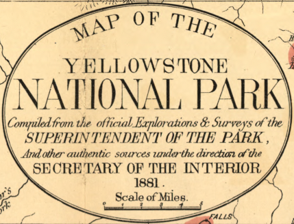
Yellowstone National Park – 1881 Map of the Yellowstone National Park
Yellowstone National Park – 1881 Map of the Yellowstone National Park
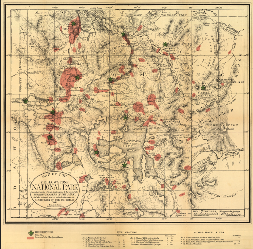
Discover Yellowstone in its early years as America’s first national park through this detailed 1881 map. Created less than a decade after the park’s establishment in 1872, this finely rendered cartographic work documents the evolving understanding of Yellowstone’s terrain, geyser basins, rivers, and mountain ranges. With careful linework and selective color highlighting key geothermal areas, the map captures both scientific precision and frontier-era exploration.
Historical Context By 1881, Yellowstone was still a remote and developing destination. Early surveys and government oversight were shaping how the park would be managed, mapped, and accessed. This map reflects that formative period—before widespread tourism infrastructure but after initial exploration had identified major features such as Yellowstone Lake, Mammoth Hot Springs, and the Upper and Lower Geyser Basins. It represents a transitional moment when Yellowstone shifted from unknown wilderness to nationally recognized natural treasure.
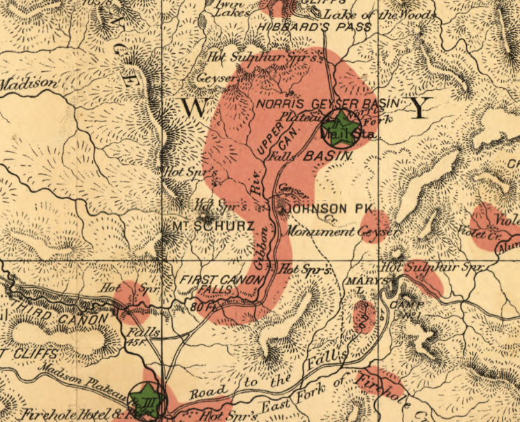
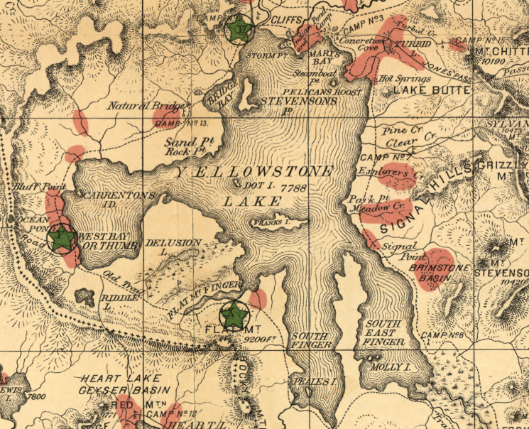
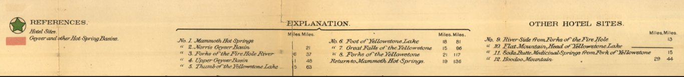
The Map’s Features The composition highlights Yellowstone Lake at the park’s center, major river systems branching outward, mountain ranges defining the boundaries, and geothermal basins marked in color. Reference keys identify rivers, lakes, geyser basins, and points of interest, while coordinate grids and measured distances reinforce its practical use for navigation and administration. The clean cartographic style emphasizes clarity and geographic accuracy over decorative flourish.
Historical Significance As one of the earlier comprehensive maps of Yellowstone National Park, this 1881 edition reflects the government’s growing commitment to documenting and preserving the region. It stands as an important artifact of early national park management and the expanding American conservation movement.
Museum-Quality Reproduction This is a high-quality reproduction of the original 1881 map, professionally printed on archival Hahnemühle paper using the Giclée printing process to preserve fine line detail, subtle coloration, and historic character for long-term display.
Perfect For:
• National park collectors
• Western exploration and conservation history enthusiasts
• Yellowstone travelers past and present
• Offices, studies, and library spaces
• Gifts celebrating America’s first national park
Specifications:
• Created/Published: 1881
• Style: Early administrative and survey map
• Product Type: High-Quality Reproduction Print
Dimensions (Width x Height): 28.6 x 28.3
Each map is printed using the finest materials and methods. Your map will be handled with white gloves from start to finish. We use the Giclée printing method on Hahnemühle paper, which produces a clear, extremely detailed, durable map perfect for proud display in your home or office.
Choose options
